UN/LOCODE hub · Norway
NOLOT

Løten

60.8167°, 11.3167°
2
Transport functions

Transport Functions

Rail
Road
UN/LOCODE

Hub Profile

Region
04
GeoNames

Location

Location of NOLOT
Natural Earth 10m (public domain) · 04 · NOLOT · 60.82, 11.32GoogleOSMYandex

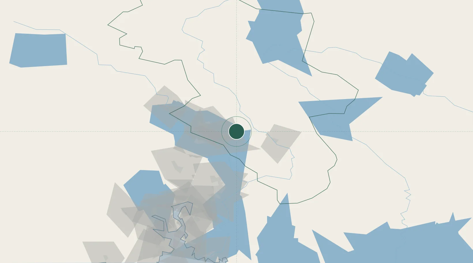
Nearby Logistics Neighbours

Cities
  1. 1Brumunddal22 km
  2. 2Espa28 km
  3. 3Våler33 km
  4. 4Siggerud40 km
  5. 5Karlstad45 km
Nearest neighbours — logibook spatial index (haversine) over the source coordinates
Ports
  1. 1Oslo107 km
  2. 2Fagerstrand127 km
  3. 3Drammen134 km
  4. 4Drobak134 km
  5. 5Svelvik142 km
Nearest neighbours — logibook spatial index (haversine) over the source coordinates
Airports
  1. 1Oslo-Gardermoen International Airport70 km
  2. 2Scandinavian Mountains Airport91 km
  3. 3Torsby Airport117 km
  4. 4Hagfors Airport153 km
  5. 5Moss Airport, Rygge163 km
Nearest neighbours — logibook spatial index (haversine) over the source coordinates
Trade Zones
  1. 1Gothenburg Boundless Customs Warehouse347 km
  2. 2Jönköping Free Zone374 km
  3. 3Stockholm Free Zone411 km
  4. 4Freeport of Copenhagen- Nordhavn572 km
  5. 5MTS Malmö Transport and Spedition589 km
Nearest neighbours — logibook spatial index (haversine) over the source coordinates
DatabookThe Record of Consolidated Knowledge
Norway beyond logistics?
Browse databook

All Sources

LocationsUN/LOCODE
UN/LOCODE — free
Portsthe NGA World Port Index
Public domain (US gov)
AirportsOurAirports
Public domain
Trade Zonesthe World Bank SEZ database
CC BY 4.0
Trade ZonesOpen Zone Map
CC BY
← Norway locations