UN/LOCODE hub · Norway
NOGJM

Gjemnes

62.9691°, 7.7339°
1
Transport functions
1
Container terminals

Transport Functions

Port
UN/LOCODE

Hub Profile

Region
15
GeoNames
Logistics facilities
2
UN/LOCODE
Container terminals
1
UN/LOCODE

Location

Location of NOGJM
Natural Earth 10m (public domain) · 15 · NOGJM · 62.97, 7.73GoogleOSMYandex

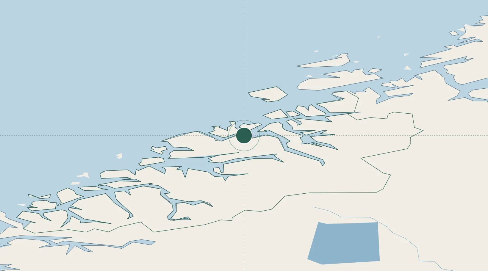
Nearby Logistics Neighbours

Cities
  1. 1Averøy10 km
  2. 2Kristiansund15 km
  3. 3Eide16 km
  4. 4Ramsvika17 km
  5. 5Visnes - Eide17 km
Nearest neighbours — logibook spatial index (haversine) over the source coordinates
Ports
  1. 1Kristiansund16 km
  2. 2Molde39 km
  3. 3Haroysund40 km
  4. 4Andalsnes45 km
  5. 5Sunndalsora52 km
Nearest neighbours — logibook spatial index (haversine) over the source coordinates
Airports
  1. 1Kristiansund Airport, Kvernberget17 km
  2. 2Molde Airport, Årø35 km
  3. 3Ålesund Airport94 km
  4. 4Ørsta-Volda Airport, Hovden122 km
  5. 5Ørland Airport124 km
Nearest neighbours — logibook spatial index (haversine) over the source coordinates
Trade Zones
  1. 1Gothenburg Boundless Customs Warehouse627 km
  2. 2Jönköping Free Zone675 km
  3. 3Freeport of Copenhagen- Nordhavn852 km
  4. 4MTS Malmö Transport and Spedition873 km
  5. 5Freeport of Kiel970 km
Nearest neighbours — logibook spatial index (haversine) over the source coordinates
DatabookThe Record of Consolidated Knowledge
Norway beyond logistics?
Browse databook

All Sources

LocationsUN/LOCODE
UN/LOCODE — free
Portsthe NGA World Port Index
Public domain (US gov)
AirportsOurAirports
Public domain
Trade Zonesthe World Bank SEZ database
CC BY 4.0
Trade ZonesOpen Zone Map
CC BY
← Norway locations