UN/LOCODE hub · Norway
NOHEY

Herøy

60.3333°, 5.6333°
1
Transport functions

Transport Functions

Port
UN/LOCODE

Hub Profile

Region
15
GeoNames

Location

Location of NOHEY
Natural Earth 10m (public domain) · 15 · NOHEY · 60.33, 5.63GoogleOSMYandex

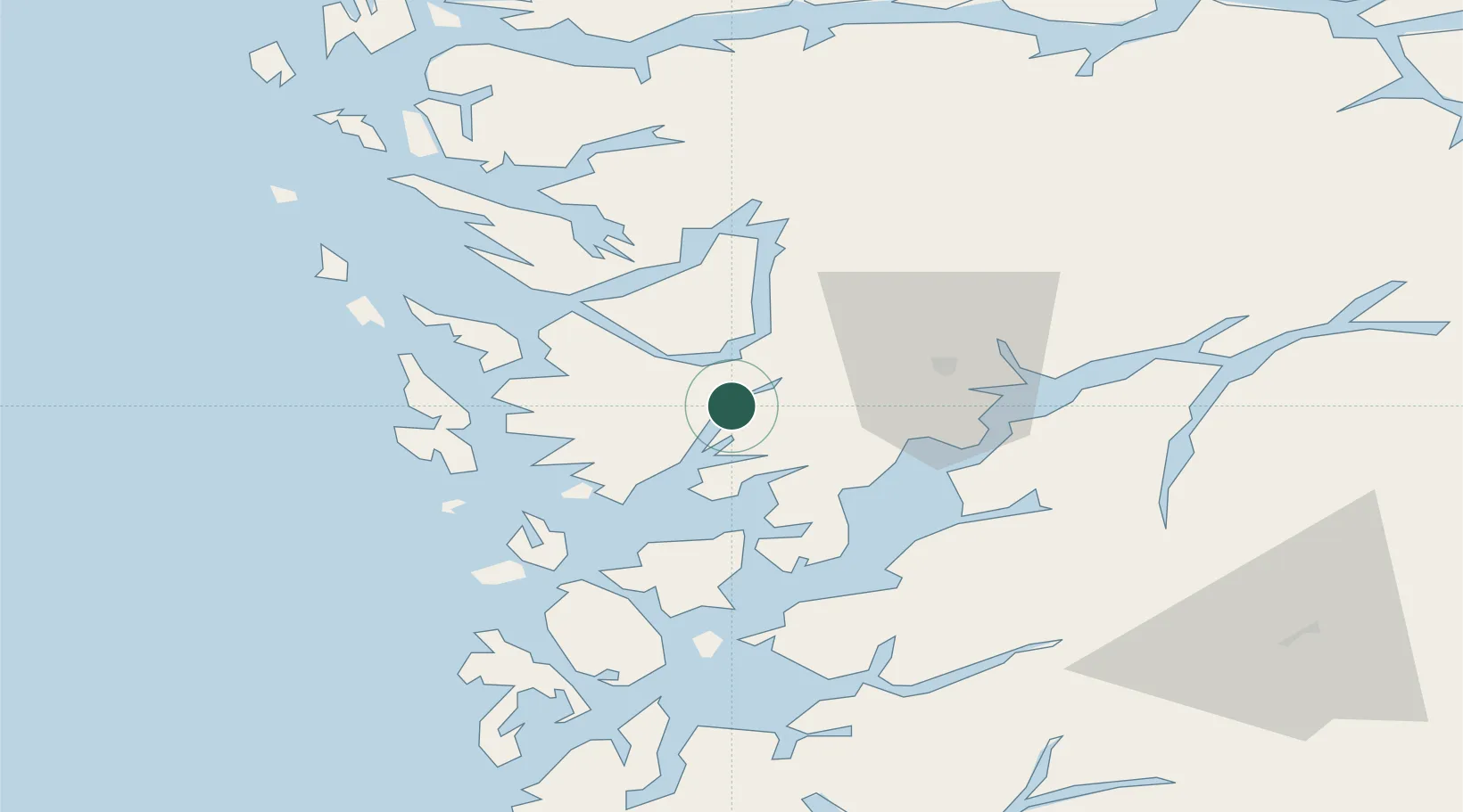
Nearby Logistics Neighbours

Cities
  1. 1Eikelandsosen13 km
  2. 2Indre Arna13 km
  3. 3Fusa15 km
  4. 4Søfteland16 km
  5. 5Vaksdal16 km
Nearest neighbours — logibook spatial index (haversine) over the source coordinates
Ports
  1. 1Vaksdal17 km
  2. 2Bergen20 km
  3. 3Haakonsvern22 km
  4. 4Brattholmen25 km
  5. 5Norheimsund29 km
Nearest neighbours — logibook spatial index (haversine) over the source coordinates
Airports
  1. 1Bergen Airport, Flesland23 km
  2. 2Stord Airport, Sørstokken62 km
  3. 3Haugesund Airport, Karmøy112 km
  4. 4Førde Airport, Bringeland118 km
  5. 5Sogndal Airport, Haukåsen123 km
Nearest neighbours — logibook spatial index (haversine) over the source coordinates
Trade Zones
  1. 1Gothenburg Boundless Customs Warehouse458 km
  2. 2Freeport of Copenhagen- Nordhavn657 km
  3. 3MTS Malmö Transport and Spedition685 km
  4. 4Freeport of Kiel720 km
  5. 5North Eastern Enterprise Zone736 km
Nearest neighbours — logibook spatial index (haversine) over the source coordinates
DatabookThe Record of Consolidated Knowledge
Norway beyond logistics?
Browse databook

All Sources

LocationsUN/LOCODE
UN/LOCODE — free
Portsthe NGA World Port Index
Public domain (US gov)
AirportsOurAirports
Public domain
Trade Zonesthe World Bank SEZ database
CC BY 4.0
Trade ZonesOpen Zone Map
CC BY
← Norway locations