Transport Functions
Multimodal
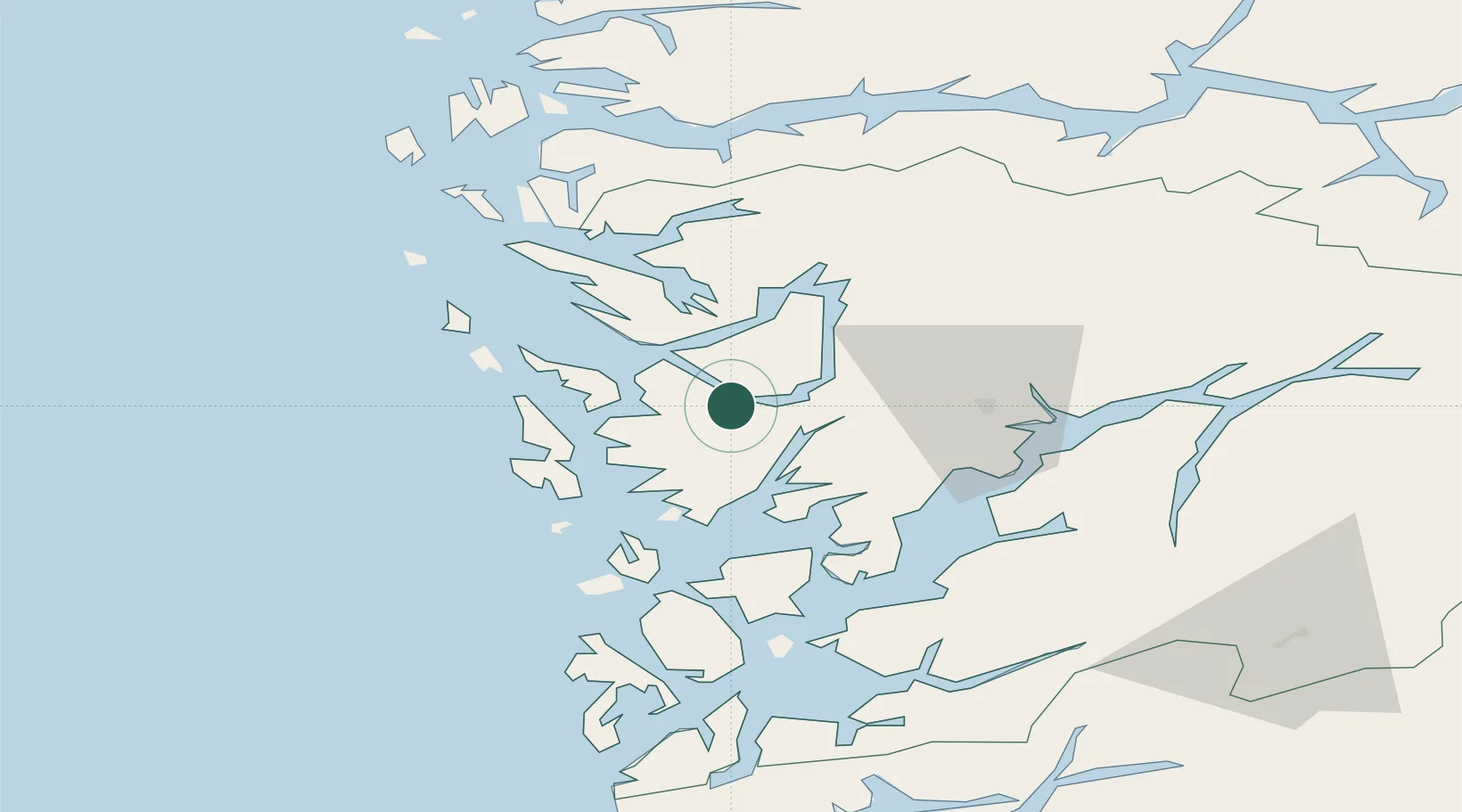
Hub Profile
Place type
Populated place
Region
Vestland
Population
6,536
Time zone
Europe/Oslo
Elevation
234 m
Location
Nearby Logistics Neighbours
Cities
- 1Bergen9 km
- 2Hegreneset9 km
- 3Laksevåg10 km
- 4Florvåg13 km
- 5Kleppestø13 km
Ports
- 1Bergen9 km
- 2Haakonsvern16 km
- 3Vaksdal16 km
- 4Brattholmen18 km
- 5Norheimsund38 km
Airports
- 1Bergen Airport, Flesland19 km
- 2Stord Airport, Sørstokken70 km
- 3Førde Airport, Bringeland110 km
- 4Haugesund Airport, Karmøy120 km
- 5Sogndal Airport, Haukåsen122 km
Trade Zones
DatabookThe Record of Consolidated Knowledge
Norway beyond logistics?