Transport Functions
Port
Road
Hub Profile
Place type
Populated place
Region
Vestland
Population
434
Time zone
Europe/Oslo
Elevation
53 m
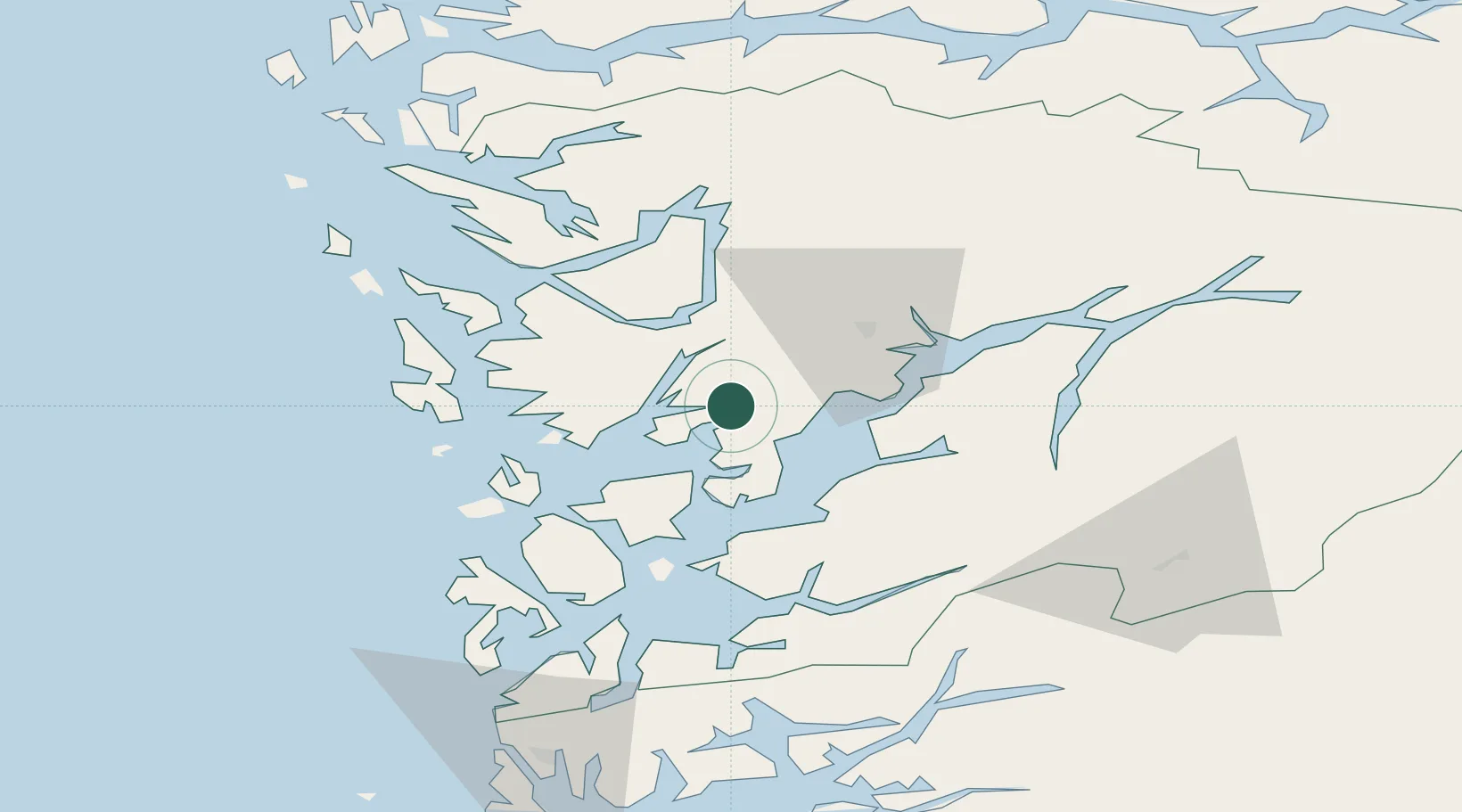
Location
Nearby Logistics Neighbours
Cities
- 1Sævareid6 km
- 2Fusa9 km
- 3Fjellstrand12 km
- 4Omastranda12 km
- 5Herøy13 km
Ports
- 1Norheimsund27 km
- 2Vaksdal27 km
- 3Haakonsvern31 km
- 4Bergen31 km
- 5Brattholmen34 km
Airports
- 1Bergen Airport, Flesland30 km
- 2Stord Airport, Sørstokken54 km
- 3Haugesund Airport, Karmøy103 km
- 4Sogndal Airport, Haukåsen127 km
- 5Førde Airport, Bringeland129 km
Trade Zones
DatabookThe Record of Consolidated Knowledge
Norway beyond logistics?