UN/LOCODE hub · Norway
NOSFT

Søfteland

60.2333°, 5.4333°
2
Transport functions

Transport Functions

Road
Multimodal
UN/LOCODE

Hub Profile

Region
12
GeoNames

Location

Location of NOSFT
Natural Earth 10m (public domain) · 12 · NOSFT · 60.23, 5.43GoogleOSMYandex

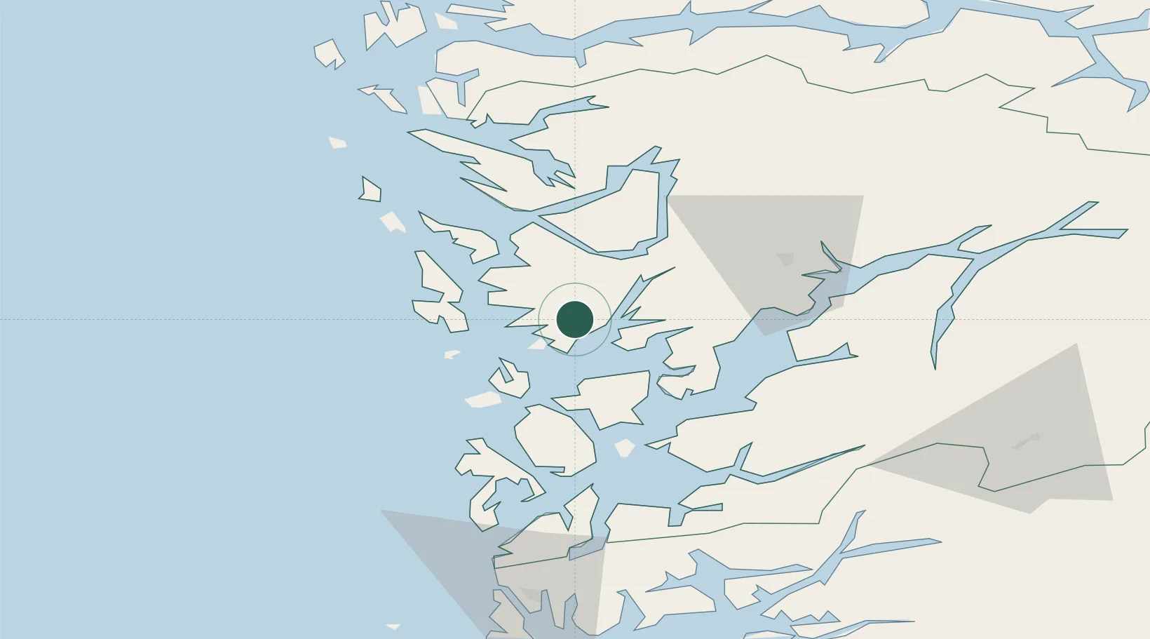
Nearby Logistics Neighbours

Cities
  1. 1Bergneset4 km
  2. 2Os8 km
  3. 3Lepsøy9 km
  4. 4Fusa10 km
  5. 5Kokstad12 km
Nearest neighbours — logibook spatial index (haversine) over the source coordinates
Ports
  1. 1Haakonsvern16 km
  2. 2Brattholmen19 km
  3. 3Bergen20 km
  4. 4Vaksdal32 km
  5. 5Norheimsund42 km
Nearest neighbours — logibook spatial index (haversine) over the source coordinates
Airports
  1. 1Bergen Airport, Flesland14 km
  2. 2Stord Airport, Sørstokken49 km
  3. 3Haugesund Airport, Karmøy100 km
  4. 4Førde Airport, Bringeland130 km
  5. 5Sogndal Airport, Haukåsen138 km
Nearest neighbours — logibook spatial index (haversine) over the source coordinates
Trade Zones
  1. 1Gothenburg Boundless Customs Warehouse461 km
  2. 2Freeport of Copenhagen- Nordhavn656 km
  3. 3MTS Malmö Transport and Spedition684 km
  4. 4Freeport of Kiel715 km
  5. 5North Eastern Enterprise Zone720 km
Nearest neighbours — logibook spatial index (haversine) over the source coordinates
DatabookThe Record of Consolidated Knowledge
Norway beyond logistics?
Browse databook

All Sources

LocationsUN/LOCODE
UN/LOCODE — free
Portsthe NGA World Port Index
Public domain (US gov)
AirportsOurAirports
Public domain
Trade Zonesthe World Bank SEZ database
CC BY 4.0
Trade ZonesOpen Zone Map
CC BY
← Norway locations