Transport Functions
Port
Rail
Road
Hub Profile
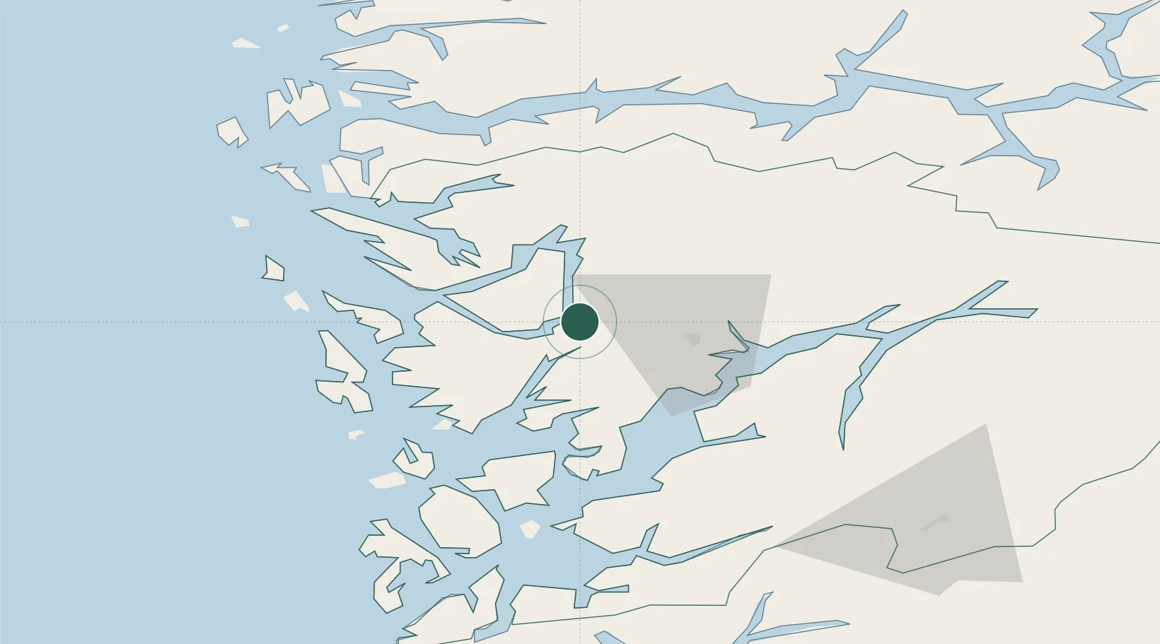
Place type
Populated place
Region
Vestland
Population
918
Time zone
Europe/Oslo
Elevation
80 m
Location
Nearby Logistics Neighbours
Cities
- 1Stanghelle9 km
- 2Lonevåg16 km
- 3Indre Arna16 km
- 4Herøy16 km
- 5Tyssebotn19 km
Ports
- 1Bergen25 km
- 2Norheimsund26 km
- 3Haakonsvern31 km
- 4Brattholmen33 km
- 5Stura51 km
Airports
- 1Bergen Airport, Flesland34 km
- 2Stord Airport, Sørstokken78 km
- 3Førde Airport, Bringeland103 km
- 4Sogndal Airport, Haukåsen108 km
- 5Haugesund Airport, Karmøy128 km
Trade Zones
DatabookThe Record of Consolidated Knowledge
Norway beyond logistics?