Transport Functions
Port
Hub Profile
Place type
Locality
Region
Vestland
Time zone
Europe/Oslo
Elevation
177 m
Logistics facilities
1
Container terminals
1
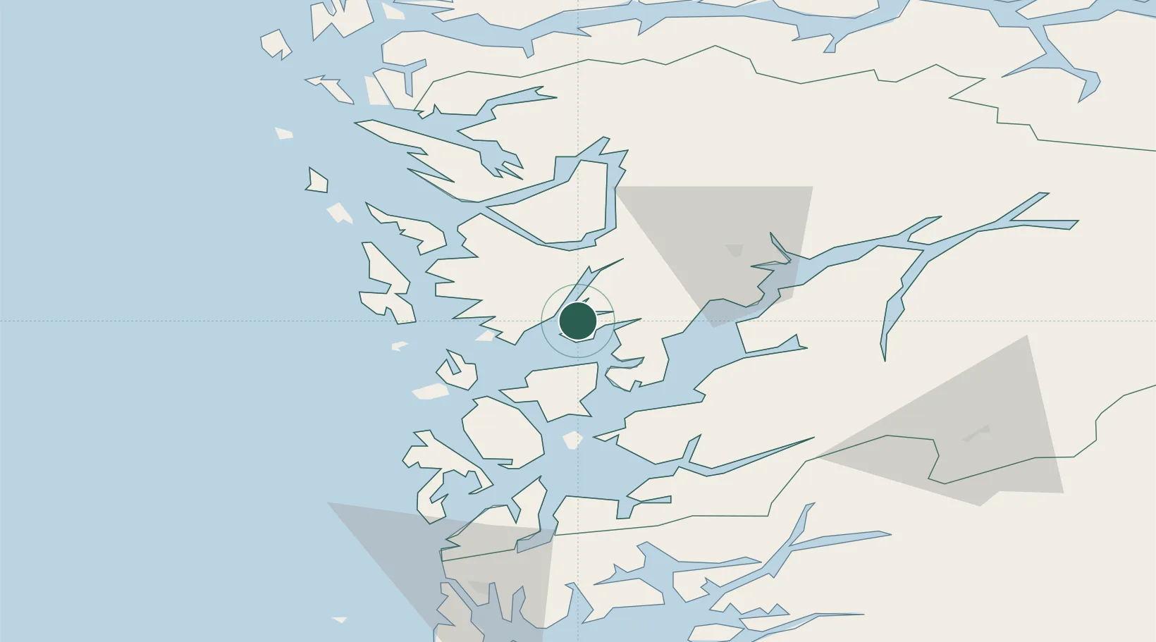
Location
Nearby Logistics Neighbours
Cities
- 1Os8 km
- 2Bergneset9 km
- 3Eikelandsosen9 km
- 4Sævareid10 km
- 5Søfteland10 km
Ports
- 1Haakonsvern25 km
- 2Bergen28 km
- 3Brattholmen28 km
- 4Vaksdal31 km
- 5Norheimsund36 km
Airports
- 1Bergen Airport, Flesland23 km
- 2Stord Airport, Sørstokken48 km
- 3Haugesund Airport, Karmøy98 km
- 4Førde Airport, Bringeland132 km
- 5Sogndal Airport, Haukåsen135 km
Trade Zones
DatabookThe Record of Consolidated Knowledge
Norway beyond logistics?