UN/LOCODE hub · Norway
NOOLV

Ølve

60.0167°, 5.8000°
1
Transport functions

Transport Functions

Port
UN/LOCODE

Hub Profile

Region
12
GeoNames

Location

Location of NOOLV
Natural Earth 10m (public domain) · 12 · NOOLV · 60.02, 5.80GoogleOSMYandex

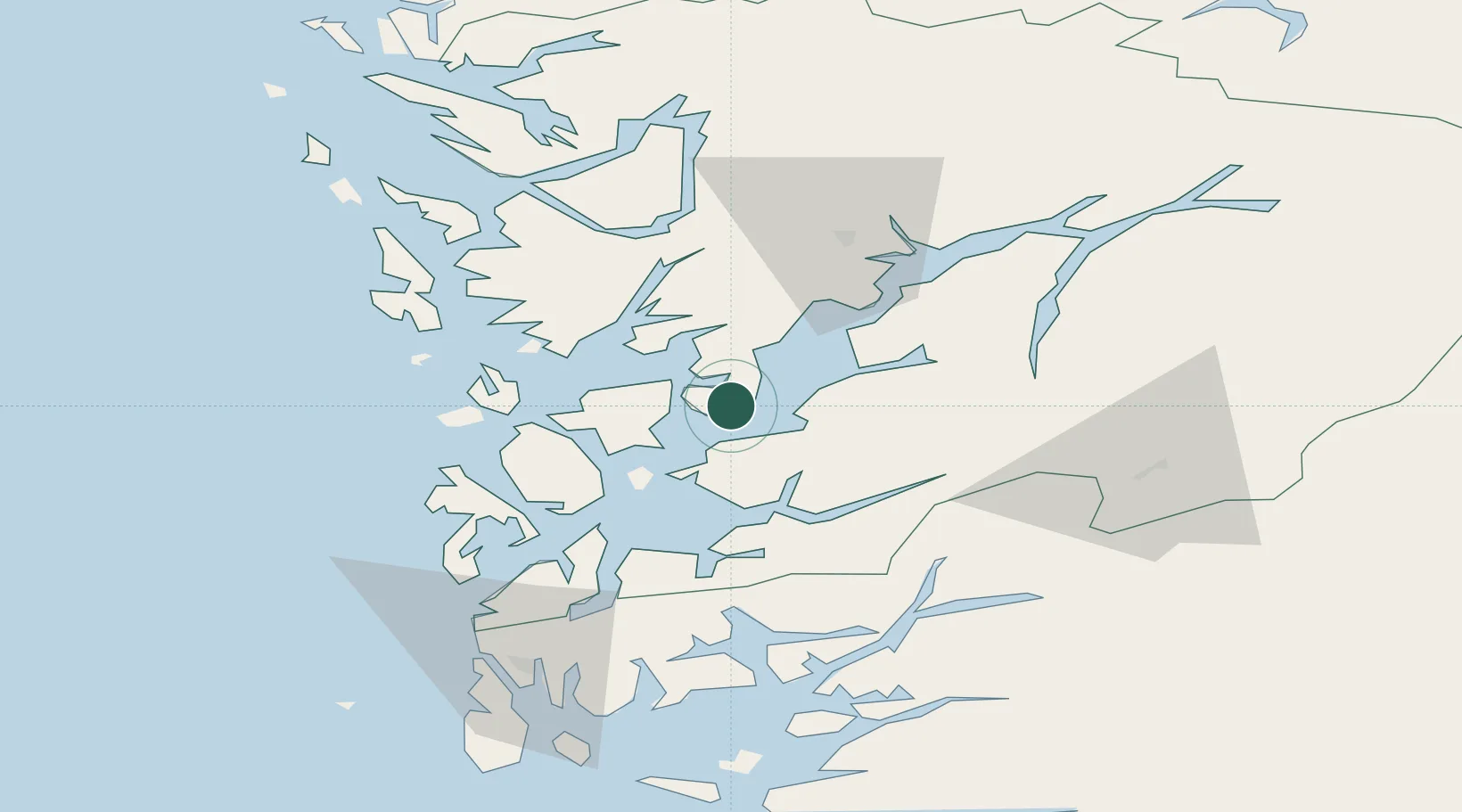
Nearby Logistics Neighbours

Cities
  1. 1Uskedalen10 km
  2. 2Herøysundet11 km
  3. 3Skipavik12 km
  4. 4Dimmelsvik13 km
  5. 5Husnes17 km
Nearest neighbours — logibook spatial index (haversine) over the source coordinates
Ports
  1. 1Husnes16 km
  2. 2Leirvik33 km
  3. 3Mosterhamn42 km
  4. 4Odda42 km
  5. 5Norheimsund44 km
Nearest neighbours — logibook spatial index (haversine) over the source coordinates
Airports
  1. 1Stord Airport, Sørstokken36 km
  2. 2Bergen Airport, Flesland45 km
  3. 3Haugesund Airport, Karmøy82 km
  4. 4Stavanger Airport, Sola127 km
  5. 5Sogndal Airport, Haukåsen146 km
Nearest neighbours — logibook spatial index (haversine) over the source coordinates
Trade Zones
  1. 1Gothenburg Boundless Customs Warehouse431 km
  2. 2Freeport of Copenhagen- Nordhavn624 km
  3. 3MTS Malmö Transport and Spedition653 km
  4. 4Freeport of Kiel684 km
  5. 5Freeport of Cuxhaven (Freihafen Cuxhaven)709 km
Nearest neighbours — logibook spatial index (haversine) over the source coordinates
DatabookThe Record of Consolidated Knowledge
Norway beyond logistics?
Browse databook

All Sources

LocationsUN/LOCODE
UN/LOCODE — free
Portsthe NGA World Port Index
Public domain (US gov)
AirportsOurAirports
Public domain
Trade Zonesthe World Bank SEZ database
CC BY 4.0
Trade ZonesOpen Zone Map
CC BY
← Norway locations