Transport Functions
Port
Hub Profile
Region
20
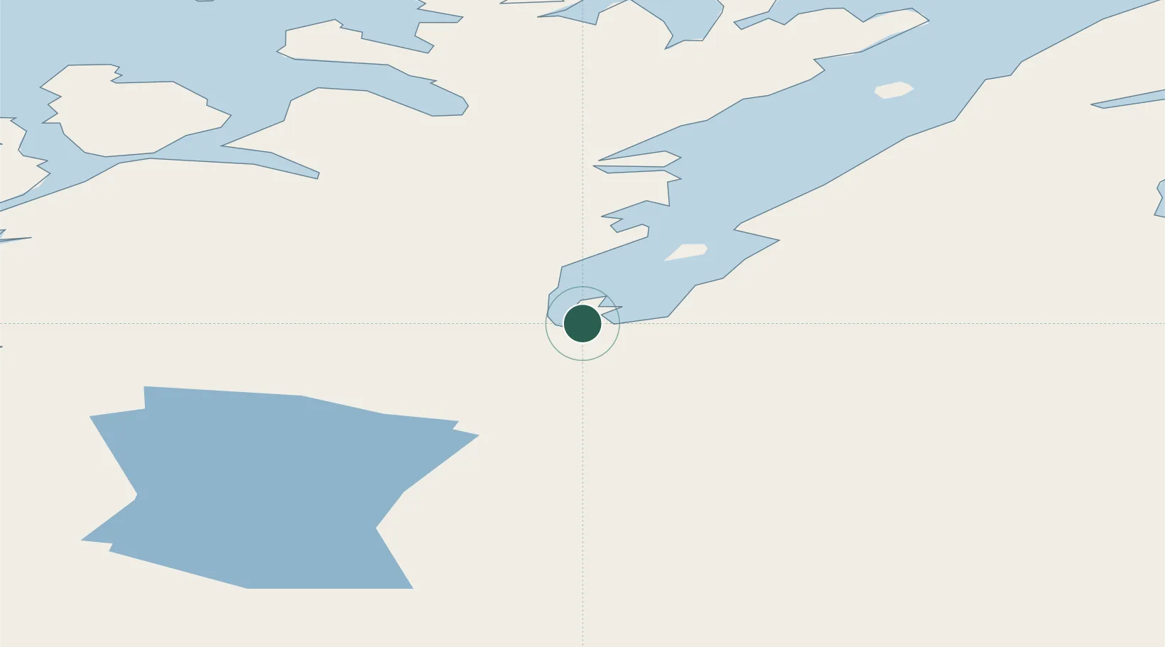
Location
Nearby Logistics Neighbours
Cities
- 1Repparfjord50 km
- 2Kvalsund61 km
- 3Alta70 km
- 4Repvåg78 km
- 5Rypefjord80 km
Ports
- 1Kvalsund61 km
- 2Alta69 km
- 3Hammerfest83 km
- 4Oksfjord103 km
- 5Honningsvag106 km
Airports
- 1Lakselv Airport, Banak3 km
- 2Alta Airport64 km
- 3Hammerfest Airport84 km
- 4Honningsvåg Airport, Valan109 km
- 5Hasvik Airport117 km
Trade Zones
- 1Murmansk Special Economic Zone337 km
- 2Oulu Port Free Warehouse Area566 km
- 3Free Zone of Lappeenranta1015 km
- 4Port of Hamina-Kotka1073 km
- 5Turku Free Zone1080 km
DatabookThe Record of Consolidated Knowledge
Norway beyond logistics?