Transport Functions
Port
Road
Hub Profile
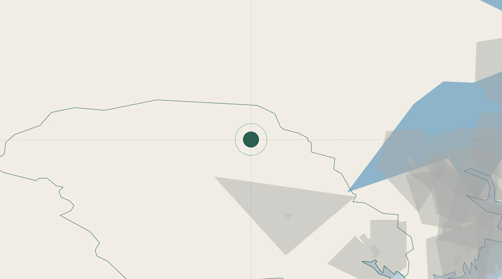
Place type
Populated place
Region
Telemark
Time zone
Europe/Oslo
Elevation
270 m
Location
Nearby Logistics Neighbours
Cities
- 1Krøderen61 km
- 2Vestfossen64 km
- 3Trollåsen70 km
- 4Sokna72 km
- 5Solbergelva73 km
Ports
- 1Drammen84 km
- 2Skien93 km
- 3Svelvik97 km
- 4Holmestrand99 km
- 5Porsgrunn100 km
Airports
- 1Notodden Airport47 km
- 2Skien Airport94 km
- 3Sandefjord Airport, Torp117 km
- 4Moss Airport, Rygge127 km
- 5Oslo-Gardermoen International Airport131 km
Trade Zones
- 1Gothenburg Boundless Customs Warehouse302 km
- 2Jönköping Free Zone388 km
- 3Freeport of Copenhagen- Nordhavn520 km
- 4MTS Malmö Transport and Spedition544 km
- 5Freeport of Kiel628 km
DatabookThe Record of Consolidated Knowledge
Norway beyond logistics?