UN/LOCODE hub · Norway
NOKRN

Krøderen

60.1500°, 9.8167°
1
Transport functions

Transport Functions

Multimodal
UN/LOCODE

Hub Profile

Region
06
GeoNames

Location

Location of NOKRN
Natural Earth 10m (public domain) · 06 · NOKRN · 60.15, 9.82GoogleOSMYandex

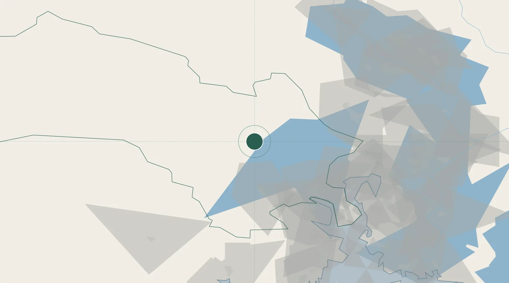
Nearby Logistics Neighbours

Cities
  1. 1Sokna13 km
  2. 2Trollåsen18 km
  3. 3Hønefoss27 km
  4. 4Rykkinn45 km
  5. 5Solbergelva45 km
Nearest neighbours — logibook spatial index (haversine) over the source coordinates
Ports
  1. 1Drammen52 km
  2. 2Oslo59 km
  3. 3Fagerstrand63 km
  4. 4Svelvik68 km
  5. 5Drobak71 km
Nearest neighbours — logibook spatial index (haversine) over the source coordinates
Airports
  1. 1Oslo-Gardermoen International Airport71 km
  2. 2Notodden Airport73 km
  3. 3Moss Airport, Rygge102 km
  4. 4Skien Airport108 km
  5. 5Sandefjord Airport, Torp110 km
Nearest neighbours — logibook spatial index (haversine) over the source coordinates
Trade Zones
  1. 1Gothenburg Boundless Customs Warehouse295 km
  2. 2Jönköping Free Zone361 km
  3. 3Stockholm Free Zone473 km
  4. 4Freeport of Copenhagen- Nordhavn520 km
  5. 5MTS Malmö Transport and Spedition541 km
Nearest neighbours — logibook spatial index (haversine) over the source coordinates
DatabookThe Record of Consolidated Knowledge
Norway beyond logistics?
Browse databook

All Sources

LocationsUN/LOCODE
UN/LOCODE — free
Portsthe NGA World Port Index
Public domain (US gov)
AirportsOurAirports
Public domain
Trade Zonesthe World Bank SEZ database
CC BY 4.0
Trade ZonesOpen Zone Map
CC BY
← Norway locations