Transport Functions
Rail
Road
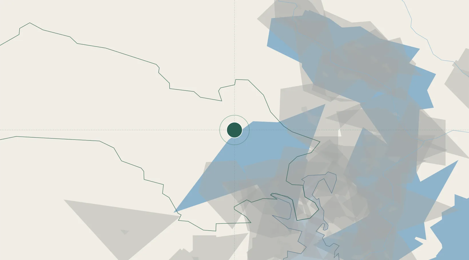
Hub Profile
Place type
Populated place
Region
Buskerud
Population
543
Time zone
Europe/Oslo
Elevation
140 m
Location
Nearby Logistics Neighbours
Ports
- 1Oslo60 km
- 2Drammen60 km
- 3Fagerstrand68 km
- 4Svelvik75 km
- 5Drobak76 km
Airports
- 1Oslo-Gardermoen International Airport65 km
- 2Notodden Airport86 km
- 3Moss Airport, Rygge108 km
- 4Sandefjord Airport, Torp120 km
- 5Skien Airport120 km
Trade Zones
DatabookThe Record of Consolidated Knowledge
Norway beyond logistics?