Transport Functions
Port
Rail
Road
Hub Profile
Place type
Urban district
Region
Akershus
Time zone
Europe/Oslo
Elevation
81 m
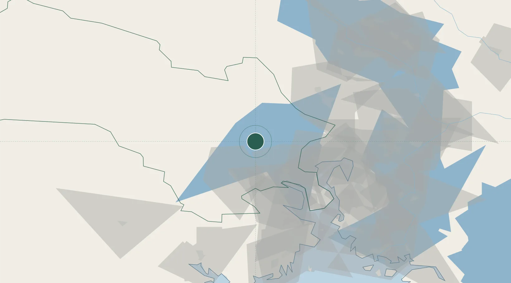
Location
Nearby Logistics Neighbours
Cities
- 1Krøderen18 km
- 2Hønefoss21 km
- 3Sokna25 km
- 4Rykkinn27 km
- 5Solbergelva30 km
Ports
- 1Drammen36 km
- 2Oslo42 km
- 3Fagerstrand45 km
- 4Svelvik51 km
- 5Drobak53 km
Airports
- 1Oslo-Gardermoen International Airport62 km
- 2Notodden Airport69 km
- 3Moss Airport, Rygge84 km
- 4Sandefjord Airport, Torp95 km
- 5Skien Airport98 km
Trade Zones
DatabookThe Record of Consolidated Knowledge
Norway beyond logistics?