Transport Functions
Multimodal
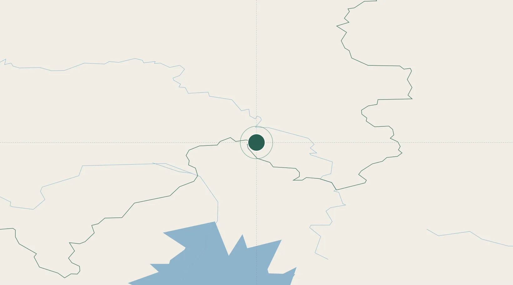
Hub Profile
Place type
Populated place
Region
Vestfold
Time zone
Europe/Oslo
Elevation
47 m
Location
Nearby Logistics Neighbours
Cities
- 1Borisova300 km
- 2Neftelensk304 km
- 3Balakhnya308 km
- 4Kota Sarang Semut309 km
- 5Konets Lug313 km
Ports
- 1Igarka1230 km
- 2Dudinka1390 km
- 3Port Dikson1857 km
- 4Jinzhou Wan2399 km
- 5Huludao Gang2400 km
Airports
- 1Vanavara Airport137 km
- 2Ust-Kut Airport300 km
- 3Zheleznogorsk Airport310 km
- 4Bratsk Airport335 km
- 5Baykit Airport469 km
Trade Zones
- 1Baikal Gates Special Economic Zone861 km
- 2Baikal Haven Touristic Zone869 km
- 3Altanbulag Special Economic Zone1015 km
- 4Tsagaannuur Special Economic Zone1399 km
- 5Manzhouli Industrial Park1404 km
DatabookThe Record of Consolidated Knowledge
Norway beyond logistics?