Diversified Zone · Mongolia

Tsagaannuur Special Economic Zone Active
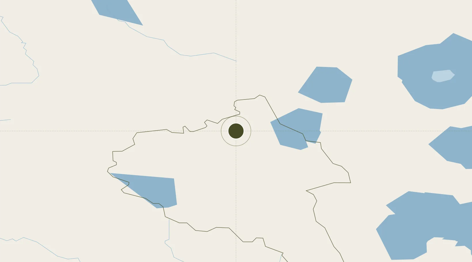
49.4695°, 89.6460°
708 ha
Zone area
2,007.6 km
Nearest port
56.6 km
Nearest airport

Gateway access

Nearest neighbours — logibook spatial index (haversine) over the source coordinates

Zone profile

Zone type
Diversified Zone
Open Zone Map
Region
Bayan-Ölgiy
Open Zone Map
Status
Active
Open Zone Map
Management
Public
Open Zone Map
Operator
Administration of FTZ "Tsagaannuur"
Open Zone Map
Legal framework
Resolution of the Government of Mongolia dated April 06, 2015.
Open Zone Map

Location

Location of ozm-2862
Natural Earth 10m (public domain) · Bayan-Ölgiy · ozm-2862 · 49.47, 89.65GoogleOSMYandex

Nearby Logistics Neighbours

Ports
  1. 1Igarka2008 km
  2. 2Dudinka2224 km
  3. 3Port Dikson2709 km
  4. 4Hankow2942 km
  5. 5Calcutta2996 km
Nearest neighbours — logibook spatial index (haversine) over the source coordinates
Airports
  1. 1Ölgii Mongolei International Airport57 km
  2. 2Ulaangom Airport178 km
  3. 3Khovd Airport223 km
  4. 4Altay Xuedu Airport223 km
  5. 5Burqin Kanas Airport238 km
Nearest neighbours — logibook spatial index (haversine) over the source coordinates
Cities
  1. 1Altay211 km
  2. 2Bussnang216 km
  3. 3Limeshain239 km
  4. 4Temirtau435 km
  5. 5Elsdorf454 km
Nearest neighbours — logibook spatial index (haversine) over the source coordinates
Trade Zones
  1. 1Heilongjiang Fuyun Industrial Park280 km
  2. 2Fuhai Industrial Park292 km
  3. 3Turquoise Katun Tourism Zone372 km
  4. 4Altai Valley Special Economic Zone378 km
  5. 5Karamay Cloud Computing Industrial Park567 km
Nearest neighbours — logibook spatial index (haversine) over the source coordinates
DatabookThe Record of Consolidated Knowledge
Mongolia beyond logistics?
Browse databook

All Sources

Trade ZonesOpen Zone Map
CC BY
Portsthe NGA World Port Index
Public domain (US gov)
AirportsOurAirports
Public domain
LocationsUN/LOCODE
UN/LOCODE — free
← Mongolia trade zones