Transport Functions
Port
Hub Profile
Region
02
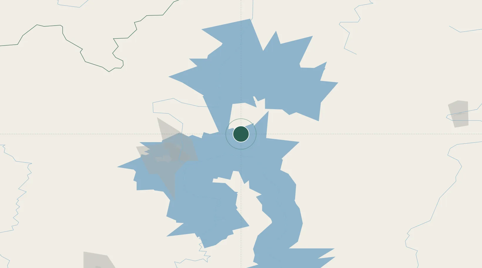
Location
Nearby Logistics Neighbours
Cities
- 1Glatved Strand165 km
- 2Chunskiy192 km
- 3Balakhnya195 km
- 4Borisova225 km
- 5Tayura249 km
Ports
- 1Igarka1470 km
- 2Dudinka1647 km
- 3Huludao Gang2199 km
- 4Jinzhou Wan2199 km
- 5Qinhuangdao2216 km
Airports
- 1Bratsk Airport61 km
- 2Zheleznogorsk Airport88 km
- 3Ust-Kut Airport191 km
- 4Vanavara Airport429 km
- 5Kansk Air Base434 km
Trade Zones
DatabookThe Record of Consolidated Knowledge
Malaysia beyond logistics?