Transport Functions
Port
Hub Profile
Region
19
Logistics facilities
1
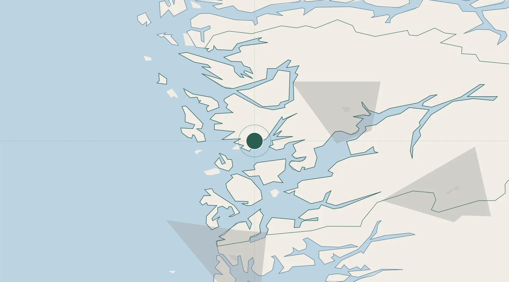
Location
Nearby Logistics Neighbours
Ports
- 1Haakonsvern19 km
- 2Brattholmen22 km
- 3Bergen24 km
- 4Vaksdal35 km
- 5Husnes40 km
Airports
- 1Bergen Airport, Flesland16 km
- 2Stord Airport, Sørstokken46 km
- 3Haugesund Airport, Karmøy96 km
- 4Førde Airport, Bringeland133 km
- 5Sogndal Airport, Haukåsen141 km
Trade Zones
DatabookThe Record of Consolidated Knowledge
Norway beyond logistics?