Transport Functions
Multimodal
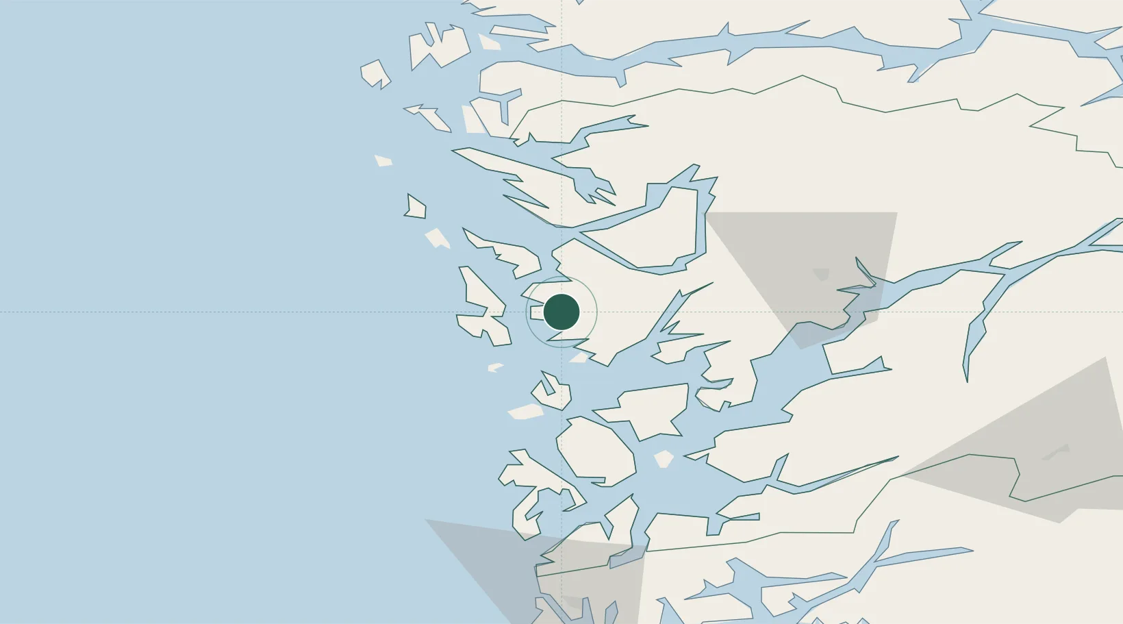
Hub Profile
Place type
Populated place
Region
Vestland
Time zone
Europe/Oslo
Elevation
56 m
Location
Nearby Logistics Neighbours
Cities
- 1Straume2 km
- 2Brattholmen9 km
- 3Laksevåg9 km
- 4Skålevik9 km
- 5Knarrevik10 km
Ports
- 1Haakonsvern4 km
- 2Brattholmen7 km
- 3Bergen12 km
- 4Vaksdal32 km
- 5Stura42 km
Airports
- 1Bergen Airport, Flesland3 km
- 2Stord Airport, Sørstokken57 km
- 3Haugesund Airport, Karmøy106 km
- 4Førde Airport, Bringeland124 km
- 5Sogndal Airport, Haukåsen139 km
Trade Zones
DatabookThe Record of Consolidated Knowledge
Norway beyond logistics?