UN/LOCODE hub · Norway
NONYB

Lepsøy

60.1500°, 5.4000°
2
Transport functions

Transport Functions

Road
Multimodal
UN/LOCODE

Hub Profile

Region
12
GeoNames

Location

Location of NONYB
Natural Earth 10m (public domain) · 12 · NONYB · 60.15, 5.40GoogleOSMYandex

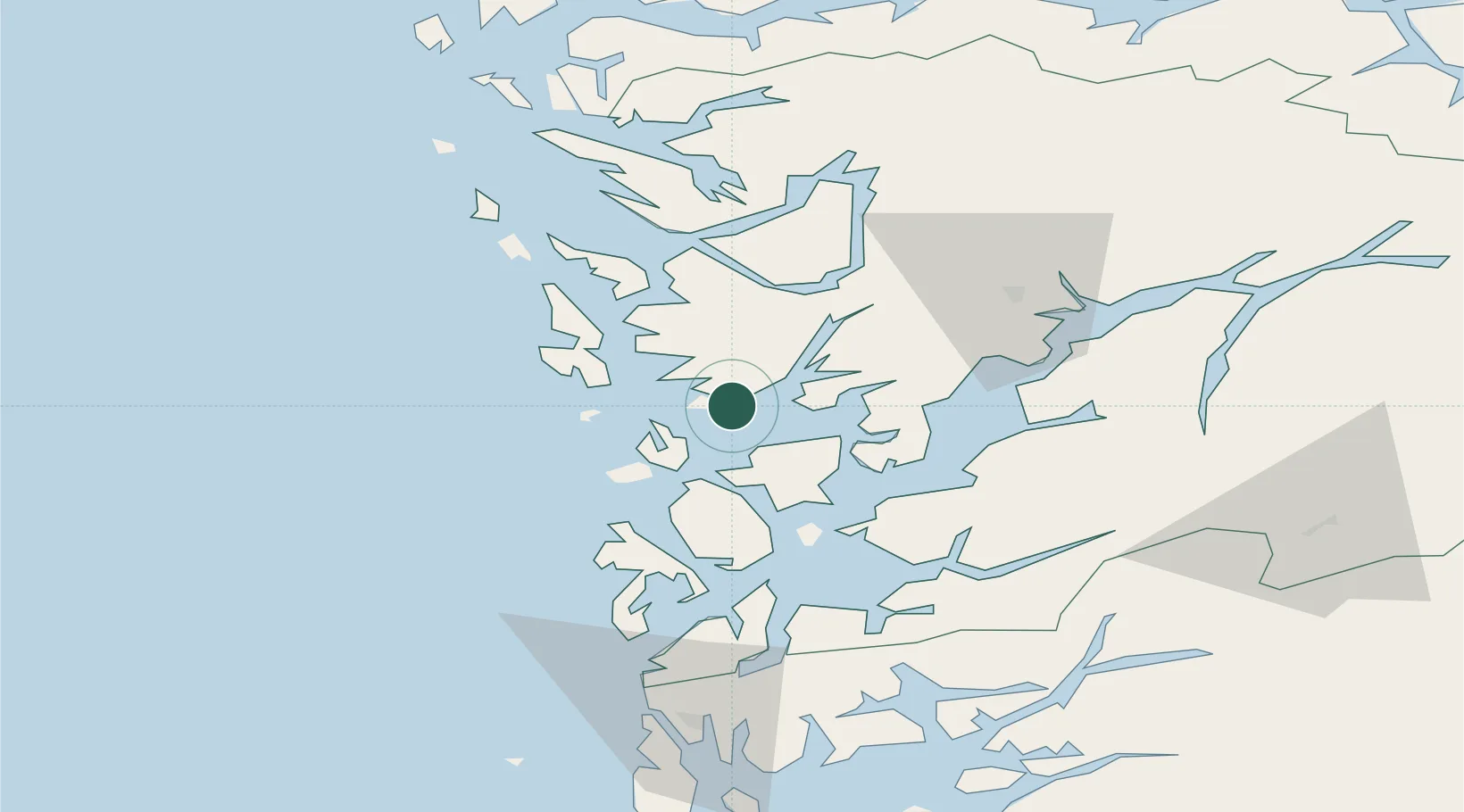
Nearby Logistics Neighbours

Cities
  1. 1Os4 km
  2. 2Bergneset6 km
  3. 3Søfteland9 km
  4. 4Storebø12 km
  5. 5Hufthammar12 km
Nearest neighbours — logibook spatial index (haversine) over the source coordinates
Ports
  1. 1Haakonsvern22 km
  2. 2Brattholmen25 km
  3. 3Bergen29 km
  4. 4Husnes36 km
  5. 5Vaksdal41 km
Nearest neighbours — logibook spatial index (haversine) over the source coordinates
Airports
  1. 1Bergen Airport, Flesland19 km
  2. 2Stord Airport, Sørstokken40 km
  3. 3Haugesund Airport, Karmøy90 km
  4. 4Førde Airport, Bringeland139 km
  5. 5Stavanger Airport, Sola142 km
Nearest neighbours — logibook spatial index (haversine) over the source coordinates
Trade Zones
  1. 1Gothenburg Boundless Customs Warehouse457 km
  2. 2Freeport of Copenhagen- Nordhavn650 km
  3. 3MTS Malmö Transport and Spedition679 km
  4. 4Freeport of Kiel707 km
  5. 5North Eastern Enterprise Zone712 km
Nearest neighbours — logibook spatial index (haversine) over the source coordinates
DatabookThe Record of Consolidated Knowledge
Norway beyond logistics?
Browse databook

All Sources

LocationsUN/LOCODE
UN/LOCODE — free
Portsthe NGA World Port Index
Public domain (US gov)
AirportsOurAirports
Public domain
Trade Zonesthe World Bank SEZ database
CC BY 4.0
Trade ZonesOpen Zone Map
CC BY
← Norway locations