Transport Functions
Port
Rail
Road
Multimodal
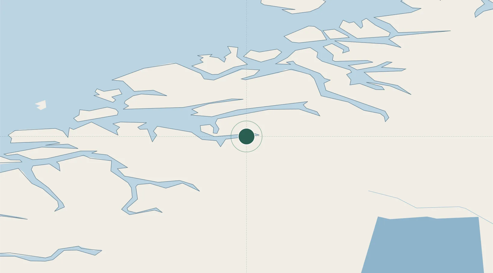
Hub Profile
Place type
Provincial seat
Region
Møre og Romsdal
Population
2,403
Time zone
Europe/Oslo
Location
Nearby Logistics Neighbours
Cities
- 1Vistdal21 km
- 2Hjelset27 km
- 3Skorgeneset30 km
- 4Molde32 km
- 5Vestnes33 km
Ports
- 1Molde33 km
- 2Sunndalsora45 km
- 3Haroysund52 km
- 4Kristiansund61 km
- 5Alesund80 km
Airports
- 1Molde Airport, Årø30 km
- 2Kristiansund Airport, Kvernberget61 km
- 3Ålesund Airport81 km
- 4Ørsta-Volda Airport, Hovden94 km
- 5Sandane Airport, Anda116 km
Trade Zones
- 1Gothenburg Boundless Customs Warehouse586 km
- 2Jönköping Free Zone640 km
- 3Freeport of Copenhagen- Nordhavn811 km
- 4MTS Malmö Transport and Spedition832 km
- 5Freeport of Kiel927 km
DatabookThe Record of Consolidated Knowledge
Norway beyond logistics?