UN/LOCODE hub · Norway
NOSGT

Skorgeneset

62.5667°, 7.1167°
1
Transport functions

Transport Functions

Port
UN/LOCODE

Hub Profile

Region
15
GeoNames

Location

Location of NOSGT
Natural Earth 10m (public domain) · 15 · NOSGT · 62.57, 7.12GoogleOSMYandex

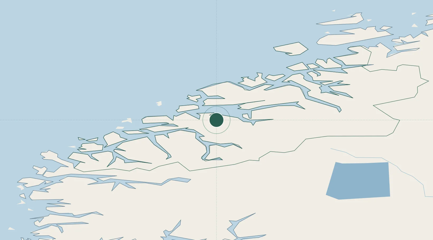
Nearby Logistics Neighbours

Cities
  1. 1Vestnes8 km
  2. 2Tomrefjord10 km
  3. 3Molde19 km
  4. 4Sjøholt20 km
  5. 5Stordal23 km
Nearest neighbours — logibook spatial index (haversine) over the source coordinates
Ports
  1. 1Molde19 km
  2. 2Andalsnes29 km
  3. 3Haroysund37 km
  4. 4Alesund50 km
  5. 5Hareid60 km
Nearest neighbours — logibook spatial index (haversine) over the source coordinates
Airports
  1. 1Molde Airport, Årø21 km
  2. 2Ålesund Airport52 km
  3. 3Ørsta-Volda Airport, Hovden69 km
  4. 4Kristiansund Airport, Kvernberget71 km
  5. 5Sandane Airport, Anda97 km
Nearest neighbours — logibook spatial index (haversine) over the source coordinates
Trade Zones
  1. 1Gothenburg Boundless Customs Warehouse599 km
  2. 2Jönköping Free Zone658 km
  3. 3Freeport of Copenhagen- Nordhavn823 km
  4. 4MTS Malmö Transport and Spedition845 km
  5. 5Freeport of Kiel932 km
Nearest neighbours — logibook spatial index (haversine) over the source coordinates
DatabookThe Record of Consolidated Knowledge
Norway beyond logistics?
Browse databook

All Sources

LocationsUN/LOCODE
UN/LOCODE — free
Portsthe NGA World Port Index
Public domain (US gov)
AirportsOurAirports
Public domain
Trade Zonesthe World Bank SEZ database
CC BY 4.0
Trade ZonesOpen Zone Map
CC BY
← Norway locations