Transport Functions
Port
Rail
Road
Airport
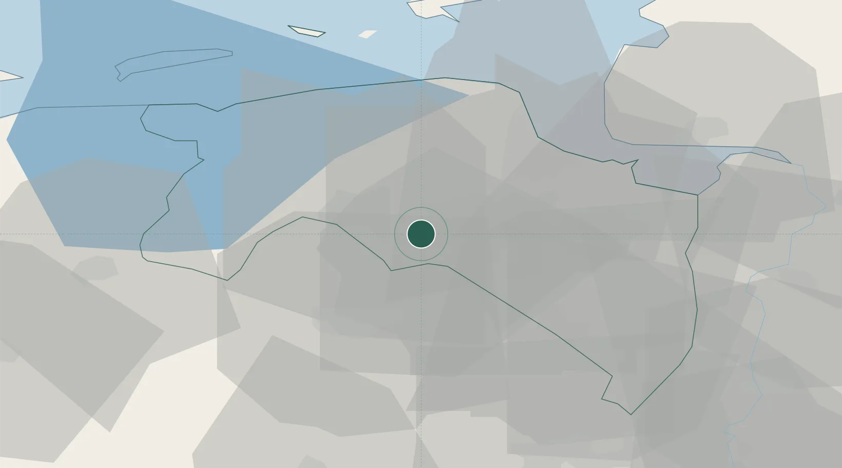
Hub Profile
Place type
Regional capital
Region
Groningen
Population
244,807
Time zone
Europe/Amsterdam
Elevation
16 m
Logistics facilities
1
Location
Nearby Logistics Neighbours
Cities
- 1Waterhuizen3 km
- 2Haren6 km
- 3Lageland7 km
- 4Zuidlaren8 km
- 5Garmerwolde9 km
Airports
- 1Groningen Airport Eelde9 km
- 2Emden Airport43 km
- 3Borkum Airport47 km
- 4Norden-Norddeich Airport61 km
- 5Juist Airport62 km
Trade Zones
DatabookThe Record of Consolidated Knowledge
Netherlands beyond logistics?