Transport Functions
Port
Road
Hub Profile
Place type
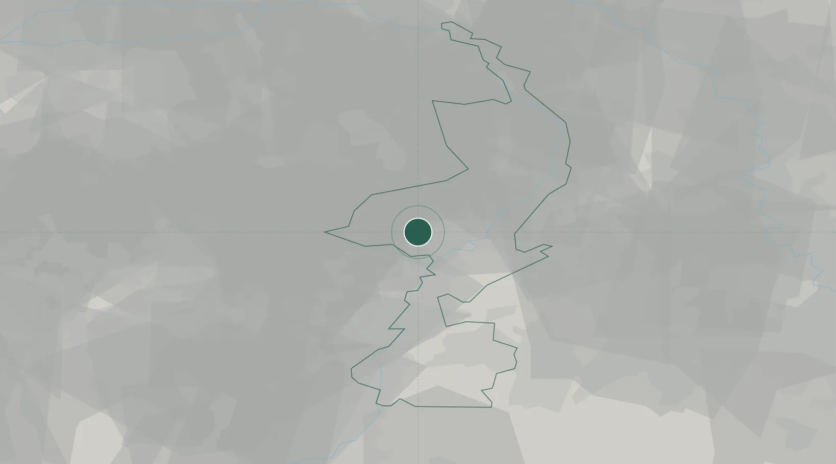
Populated place
Region
Limburg
Time zone
Europe/Amsterdam
Elevation
29 m
Location
Nearby Logistics Neighbours
Airports
- 1Kempen Airport Budel15 km
- 2Kleine Brogel Air Base24 km
- 3Geilenkirchen Air Base33 km
- 4Maastricht Aachen Airport34 km
- 5Eindhoven Airport39 km
Trade Zones
- 1Rheinische Revier SWZ53 km
- 2Freeport of Duisburg60 km
- 3ZFU Maubeuge, Louvroil169 km
- 4ZFU Condé sur lEscaut177 km
- 5Luxembourg Free Port178 km
DatabookThe Record of Consolidated Knowledge
Netherlands beyond logistics?