Transport Functions
Multimodal
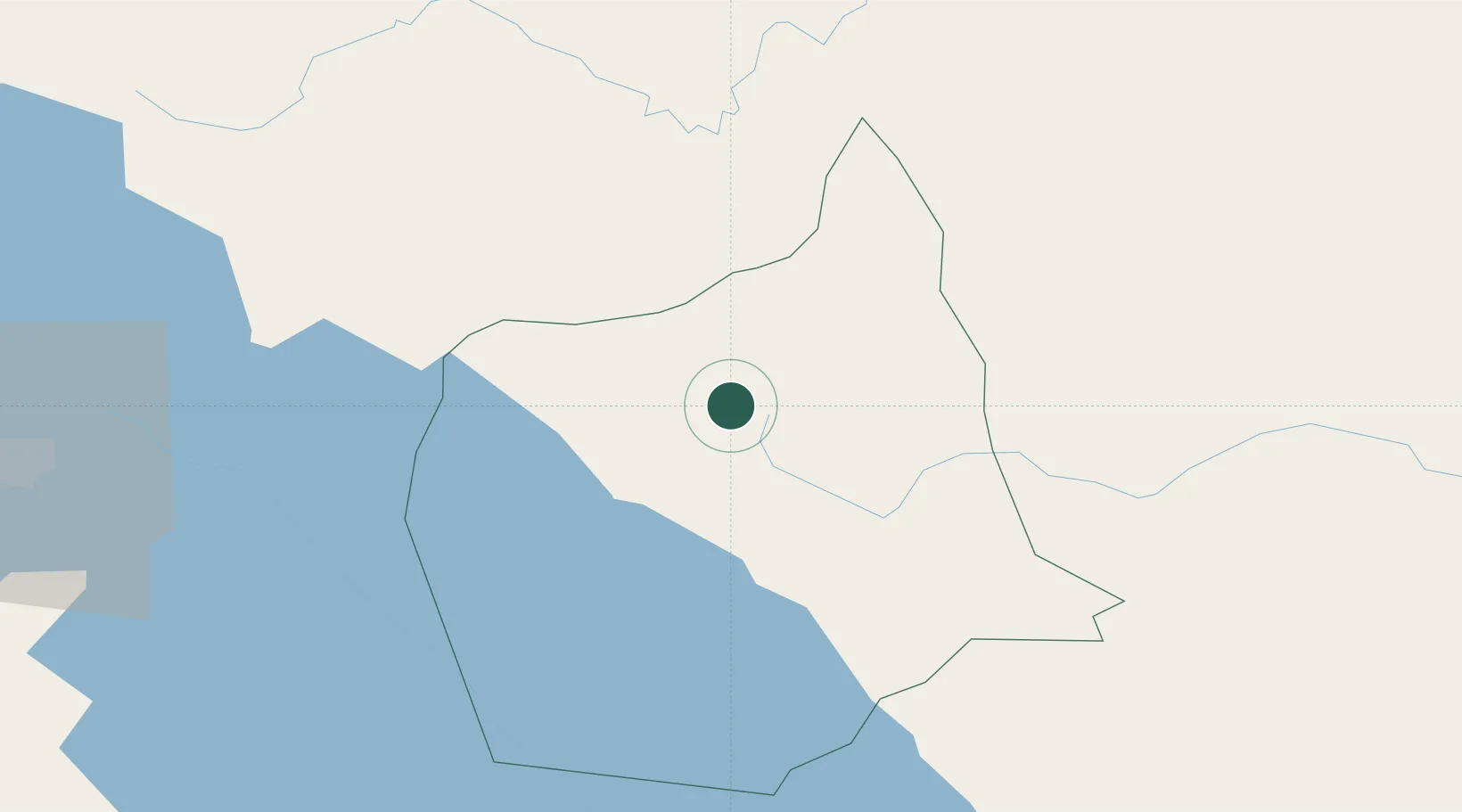
Hub Profile
Region
CO
Location
Nearby Logistics Neighbours
Cities
- 1Juigalpa29 km
- 2Boaco61 km
- 3Malacatoya73 km
- 4Los Brasiles84 km
- 5Las Maderas97 km
Ports
- 1Bluefields156 km
- 2El Bluff161 km
- 3Puerto Sandino174 km
- 4Corinto219 km
- 5Puntarenas251 km
Airports
- 1Omtepe Airport97 km
- 2Augusto C. Sandino (Managua) International Airport109 km
- 3Los Chiles Airport141 km
- 4Upala Airport148 km
- 5Bluefields Airport154 km
Trade Zones
- 1Zona Franca Industrial Tipitapa, SA101 km
- 2Astro Nicaragua, SA101 km
- 3Zona Franca San Gabriel104 km
- 4Zona Franca Coyotepe104 km
- 5Cupid Free Trade Zone105 km
DatabookThe Record of Consolidated Knowledge
Nicaragua beyond logistics?