Medium airport · Nicaragua
Bluefields AirportMNBL
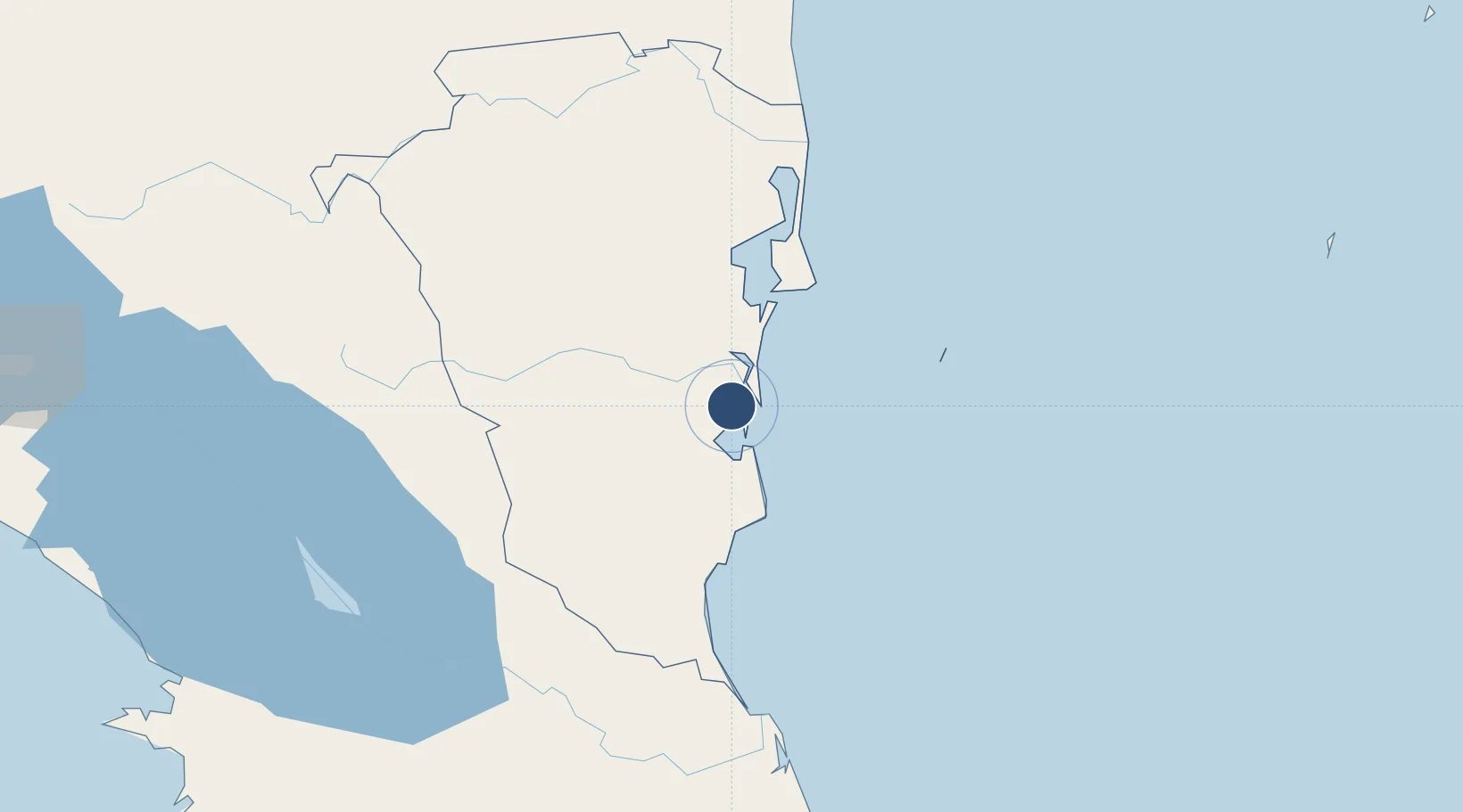
11.9910°, -83.7741°
6,625 ft
Longest runway
1
Runways
20 ft
Elevation
Runway & Layout

Radio Frequencies
TWR
118.5 MHz
Navaids
BLU VOR-DME Bluefields 116.70 MHz
Runways · 1
| Runway | Dimensions | Surface | True heading | Lit |
|---|---|---|---|---|
| 05/23 | 6,625 × 98ft | Asphalt | 057° | — |
Airport Specifications
IATA code
BEF
ICAO code
MNBL
Airport class
Medium airport
Scheduled service
Yes
Runway surface
Asphalt
Served city
Bluefields
Location
Nearby Logistics Neighbours
Airports
- 1Corn Island Airport80 km
- 2Barra del Colorado Airport138 km
- 3Los Chiles Airport147 km
- 4Aerotortuguero Airport176 km
- 5Upala Airport182 km
Cities
- 1Rama51 km
- 2Libertad-Chontales154 km
- 3Puerto Isabel155 km
- 4Cutris159 km
- 5Horluetas/Sarapiqui170 km
Ports
- 1Bluefields4 km
- 2El Bluff8 km
- 3Puerto Moin234 km
- 4San Andres Island234 km
- 5Puerto Limon238 km
Trade Zones
- 1CR Green Valley Business and Technology Park148 km
- 2FreeHold Free Zone213 km
- 3AAA Top Talent Free Trade Zone222 km
- 4Activa Industrial Park224 km
- 5Global Park Free Zone227 km
DatabookThe Record of Consolidated Knowledge
Nicaragua beyond logistics?