Channel & Berth Profile
Pilotage, Tugs & Services
Pilotage compulsoryYES
Pilotage availableYES
Local assistanceYES
Tug assistanceNO
Salvage tugsNO
Potable waterYES
MedicalYES
Garbage disposalNO
Facilities & Capabilities
Container—
Ro-Ro—
Liquid bulk—
Dry bulk—
Oil terminal—
Break bulk—
Dry dock—
Repairs—
BunkeringNO
Rail link—
Dangerous cargo—
ISPS security—
Harbour Specifications
Harbour size
Very Small
Harbour type
Open Roadstead
Shelter
Poor
Water body
Gulf of Guinea; North Atlantic Ocean
Tidal range
1.4 m
Pilotage
Yes
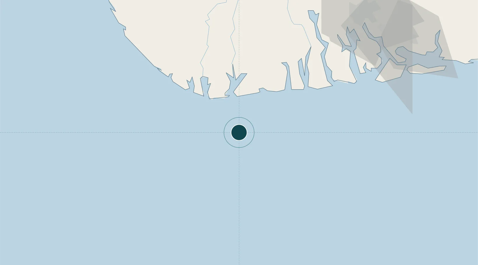
Location
Nearby Logistics Neighbours
Ports
- 1Pennington Oil Terminal77 km
- 2Okwori Terminal81 km
- 3Agbami Oil Terminal104 km
- 4Bonny107 km
- 5Port Harcourt111 km
Cities
- 1Kirikakiri30 km
- 2Olodi77 km
- 3Okwori80 km
- 4Agbami105 km
- 5Okono111 km
Airports
DatabookThe Record of Consolidated Knowledge
Nigeria beyond logistics?