Transport Functions
Multimodal
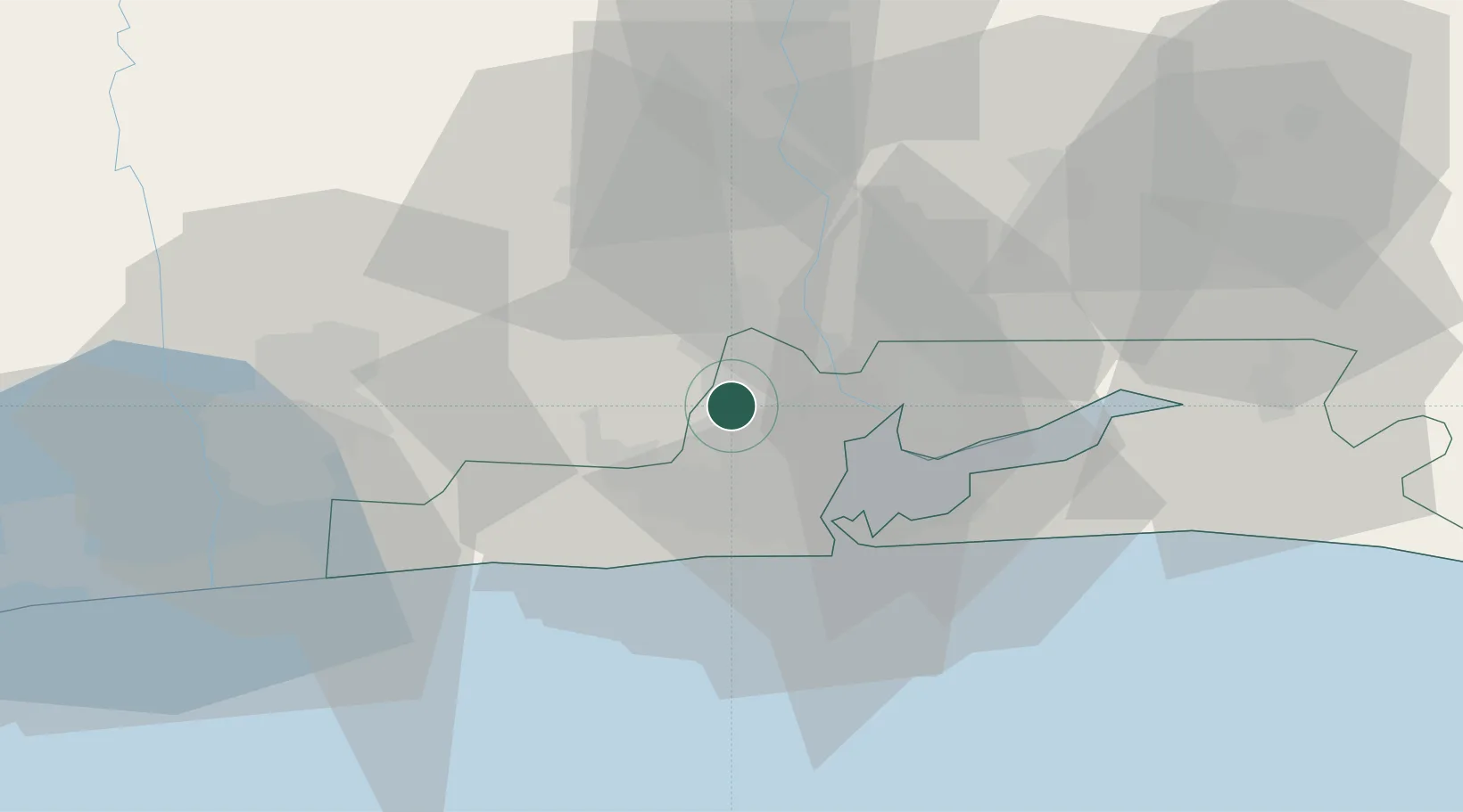
Hub Profile
Place type
Urban district
Region
Lagos
Time zone
Africa/Lagos
Elevation
39 m
Location
Nearby Logistics Neighbours
Ports
- 1Lagos28 km
- 2Tin Can Island30 km
- 3Cotonou94 km
- 4Kpeme197 km
- 5Ukpokiti Marine Terminal200 km
Airports
Trade Zones
DatabookThe Record of Consolidated Knowledge
Nigeria beyond logistics?