Export Processing Zone · Nigeria

Nasco Town Free Zone Inactive
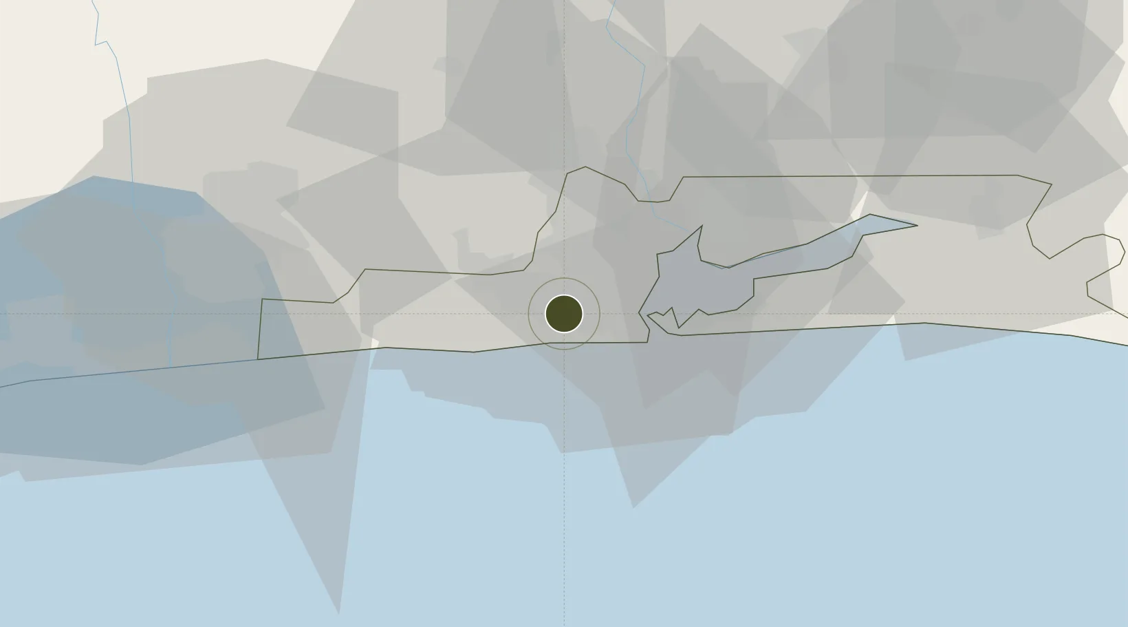
6.4480°, 3.2397°
292 ha
Zone area
16.4 km
Nearest port
17.0 km
Nearest airport

Gateway access

Nearest neighbours — logibook spatial index (haversine) over the source coordinates

Zone profile

Zone type
Export Processing Zone
Open Zone Map
Region
Lagos
Open Zone Map
Status
Inactive
Open Zone Map
Management
Private
Open Zone Map
Operator
Nasco Town Limited RC
Open Zone Map
Legal framework
Section 10 (4) of the Nigeria Export Processing Zones Act No 63 of 1992
Open Zone Map

Location

Location of ozm-2960
Natural Earth 10m (public domain) · Lagos · ozm-2960 · 6.45, 3.24GoogleOSMYandex

Nearby Logistics Neighbours

Ports
  1. 1Tin Can Island16 km
  2. 2Lagos19 km
  3. 3Cotonou90 km
  4. 4Kpeme192 km
  5. 5Ukpokiti Marine Terminal193 km
Nearest neighbours — logibook spatial index (haversine) over the source coordinates
Airports
  1. 1Murtala Muhammed International Airport17 km
  2. 2Cotonou Cadjehoun International Airport95 km
  3. 3Ibadan Airport130 km
  4. 4Lomé–Tokoin International Airport222 km
  5. 5Akure Airport244 km
Nearest neighbours — logibook spatial index (haversine) over the source coordinates
Cities
  1. 1Agboju5 km
  2. 2Igando11 km
  3. 3Tincan/Lagos12 km
  4. 4Lagos13 km
  5. 5Mushin14 km
Nearest neighbours — logibook spatial index (haversine) over the source coordinates
Trade Zones
  1. 1Snake Island Integrated Free Zone11 km
  2. 2Nigerdock Free Zone11 km
  3. 3Tomaro Industrial Park14 km
  4. 4NAHCO Free Trade Zone16 km
  5. 5Airline Services Export Processing Zone16 km
Nearest neighbours — logibook spatial index (haversine) over the source coordinates
DatabookThe Record of Consolidated Knowledge
Nigeria beyond logistics?
Browse databook

All Sources

Trade ZonesOpen Zone Map
CC BY
Portsthe NGA World Port Index
Public domain (US gov)
AirportsOurAirports
Public domain
LocationsUN/LOCODE
UN/LOCODE — free
← Nigeria trade zones