Small airport · Mozambique

Xai-Xai Chongoene AirportFQXA
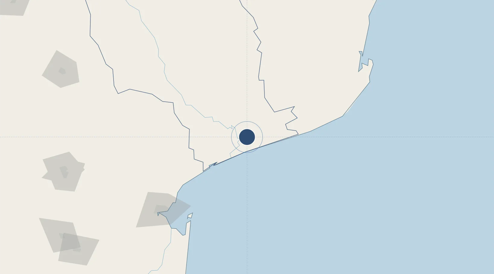
-24.8929°, 33.7530°
5,906 ft
Longest runway
1
Runways
291 ft
Elevation

Runway & Layout

Xai-Xai Chongoene Airport runway & taxiway layout
Runway & taxiway layout — OpenStreetMap (ODbL) / OurAirports

Runways · 1

RunwayDimensions SurfaceTrue headingLit
02/20 5,906 × —ft concrete
OurAirports

Airport Specifications

IATA code
VJB
OurAirports
ICAO code
FQXA
OurAirports
Airport class
Small airport
OurAirports
Scheduled service
Yes
OurAirports
Runway surface
concrete
OurAirports
Served city
Xai-Xai
OurAirports

Location

Location of FQXA
Natural Earth 10m (public domain) · Gaza · FQXA · -24.89, 33.75GoogleOSMYandex

Nearby Logistics Neighbours

Airports
  1. 1Maputo Airport165 km
  2. 2Inhambane Airport202 km
  3. 3Skukuza Airport218 km
  4. 4Malamala Airport223 km
  5. 5King Mswati III International Airport261 km
Nearest neighbours — logibook spatial index (haversine) over the source coordinates
Cities
  1. 1Chokwé87 km
  2. 2Maputo170 km
  3. 3Belfast241 km
  4. 4Kiepersol275 km
  5. 5Barberton286 km
Nearest neighbours — logibook spatial index (haversine) over the source coordinates
Ports
  1. 1Maputo170 km
  2. 2Inhambane199 km
  3. 3Richards Bay465 km
  4. 4Beira574 km
  5. 5Durban613 km
Nearest neighbours — logibook spatial index (haversine) over the source coordinates
Trade Zones
  1. 1MCM Industrias Texteis Industrial Free Zone145 km
  2. 2Belulane Industrial Park160 km
  3. 3Kenmare Industrial Free Zone165 km
  4. 4Mozal Industrial Free Zone166 km
  5. 5Moztex Industrial Free Zone167 km
Nearest neighbours — logibook spatial index (haversine) over the source coordinates
DatabookThe Record of Consolidated Knowledge
Mozambique beyond logistics?
Browse databook

All Sources

AirportsOurAirports
Public domain
Portsthe NGA World Port Index
Public domain (US gov)
LocationsUN/LOCODE
UN/LOCODE — free
Trade Zonesthe World Bank SEZ database
CC BY 4.0
Trade ZonesOpen Zone Map
CC BY
InfrastructureOpenStreetMap
ODbL 1.0
← Mozambique airports