Transport Functions
Multimodal
Hub Profile
Place type
Regional capital
Region
Penang
Population
158,336
Time zone
Asia/Kuala_Lumpur
Elevation
14 m
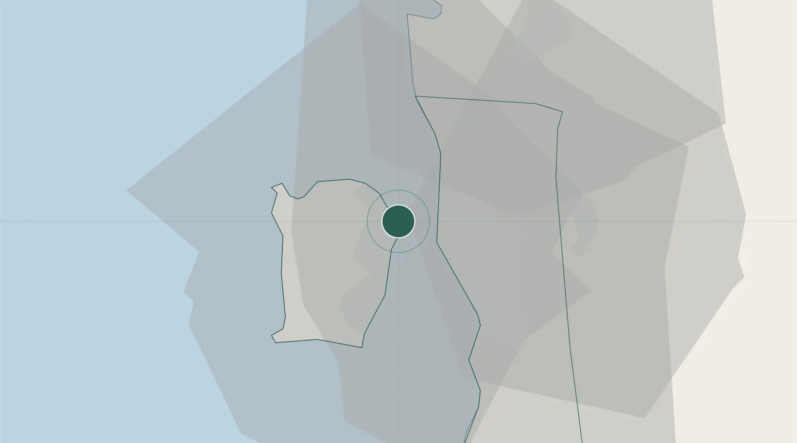
Location
Nearby Logistics Neighbours
Cities
- 1Pulau Tikus3 km
- 2Jelutong3 km
- 3Perai6 km
- 4Penang (Georgetown)6 km
- 5Butterworth7 km
Ports
- 1Pulau Pinang2 km
- 2Port Langkawi129 km
- 3Lumut136 km
- 4Teluk Anson173 km
- 5Pattani201 km
Airports
Trade Zones
DatabookThe Record of Consolidated Knowledge
Malaysia beyond logistics?