Transport Functions
Port
Hub Profile
Place type
Populated place
Region
Penang
Population
63,507
Time zone
Asia/Kuala_Lumpur
Elevation
4 m
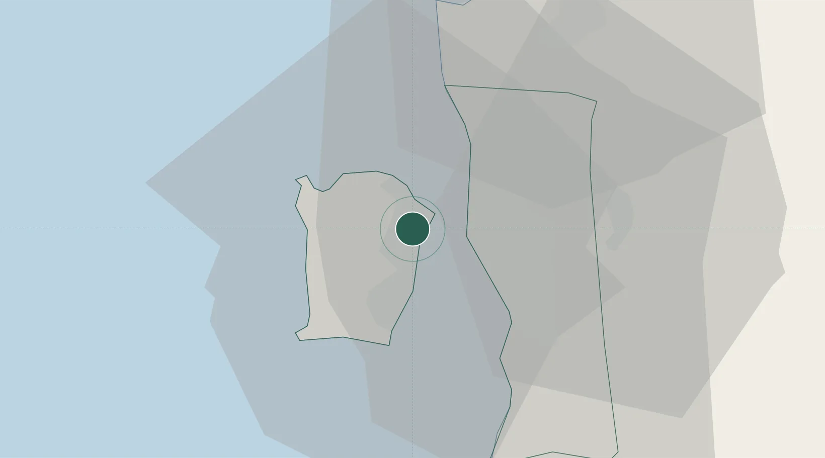
Location
Nearby Logistics Neighbours
Cities
- 1George Town3 km
- 2Pulau Tikus4 km
- 3Perai6 km
- 4Penang (Georgetown)8 km
- 5Butterworth9 km
Ports
- 1Pulau Pinang4 km
- 2Port Langkawi130 km
- 3Lumut134 km
- 4Teluk Anson172 km
- 5Pattani204 km
Airports
Trade Zones
DatabookThe Record of Consolidated Knowledge
Malaysia beyond logistics?