UN/LOCODE hub · Mauritius
MUPMA
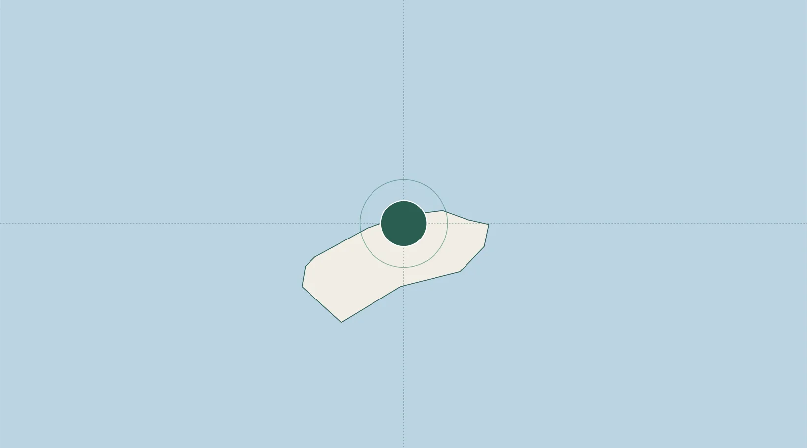
Port Mathurin
-19.6811°, 63.4203°
8,350
Population
2
Transport functions
Transport Functions
Port
Road
Hub Profile
Place type
Regional capital
Region
Rodrigues
Population
8,350
Time zone
Indian/Mauritius
Elevation
44 m
Logistics facilities
1
Location
Nearby Logistics Neighbours
Cities
- 1Ebene592 km
- 2Fond du Sac613 km
- 3Port Louis621 km
- 4Phoenix622 km
- 5Albion632 km
Ports
- 1Port Louis621 km
- 2Saint-Denis842 km
- 3Saint-Pierre849 km
- 4Toamasina1482 km
- 5Maroantsetra1516 km
Airports
Trade Zones
DatabookThe Record of Consolidated Knowledge
Mauritius beyond logistics?