UN/LOCODE hub · Macao SAR China
MOMFM
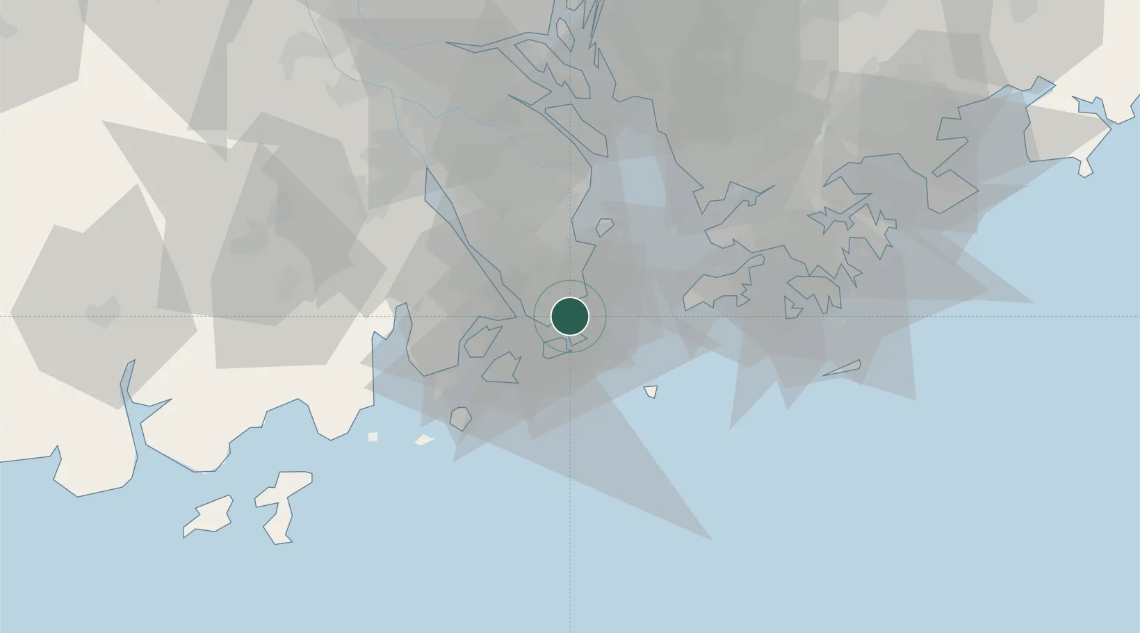
Macau
22.1827°, 113.5419°
649,335
Population
3
Transport functions
Transport Functions
Port
Airport
Postal
Hub Profile
Place type
National capital
Population
649,335
Time zone
Asia/Macau
Elevation
28 m
Logistics facilities
7
Location
Nearby Logistics Neighbours
Cities
- 1Wanzai3 km
- 2Qianshan/Zhuhai6 km
- 3Doumen Pt7 km
- 4Zhuhai7 km
- 5Sanzao25 km
Ports
- 1Zhuhai7 km
- 2Shekou46 km
- 3Hong Kong68 km
- 4Yantian87 km
- 5Huangpuxingang97 km
Airports
DatabookThe Record of Consolidated Knowledge
Macao SAR China beyond logistics?