UN/LOCODE hub · China
CNSZA

Sanzao

22.0500°, 113.3500°
2
Transport functions

Transport Functions

Port
Road
UN/LOCODE

Hub Profile

Place type
Local administrative seat
GeoNames
Region
Guangdong
GeoNames
Time zone
Asia/Shanghai
GeoNames
Elevation
2 m
GeoNames

Location

Location of CNSZA
Natural Earth 10m (public domain) · Guangdong · CNSZA · 22.05, 113.35GoogleOSMYandex

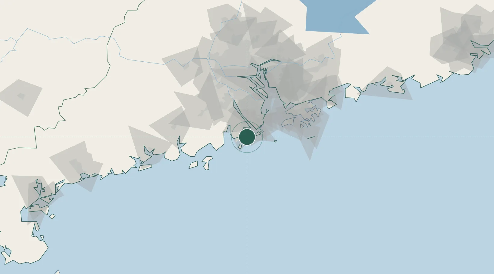
Nearby Logistics Neighbours

Cities
  1. 1Zhuhai18 km
  2. 2Gaolan18 km
  3. 3Pingshaxinmatou20 km
  4. 4Wanzai23 km
  5. 5Macau25 km
Nearest neighbours — logibook spatial index (haversine) over the source coordinates
Ports
  1. 1Macau27 km
  2. 2Zhuhai32 km
  3. 3Shekou71 km
  4. 4Hong Kong91 km
  5. 5Yantian111 km
Nearest neighbours — logibook spatial index (haversine) over the source coordinates
Airports
  1. 1Zhuhai Jinwan Airport6 km
  2. 2Macau International Airport27 km
  3. 3Hong Kong International Airport65 km
  4. 4Shenzhen Bao'an International Airport80 km
  5. 5Shek Kong Air Base87 km
Nearest neighbours — logibook spatial index (haversine) over the source coordinates
Trade Zones
  1. 1Zhuhai Jinwan Liangang Industrial Park5 km
  2. 2Taishan Guanghaiwan Industrial Park50 km
  3. 3Jiangmen Xinhui Economic Development Zone52 km
  4. 4Zhongshan Industrial Park56 km
  5. 5Zhongshan Industrial Park59 km
Nearest neighbours — logibook spatial index (haversine) over the source coordinates
DatabookThe Record of Consolidated Knowledge
China beyond logistics?
Browse databook

All Sources

LocationsUN/LOCODE
UN/LOCODE — free
Portsthe NGA World Port Index
Public domain (US gov)
AirportsOurAirports
Public domain
Trade Zonesthe World Bank SEZ database
CC BY 4.0
Trade ZonesOpen Zone Map
CC BY
← China locations