UN/LOCODE hub · Moldova
MDBEL

Balti (Bel'cy)

47.7500°, 27.9167°
2
Transport functions

Transport Functions

Rail
Road
UN/LOCODE

Hub Profile

Region
BA
GeoNames

Location

Location of MDBEL
Natural Earth 10m (public domain) · BA · MDBEL · 47.75, 27.92GoogleOSMYandex

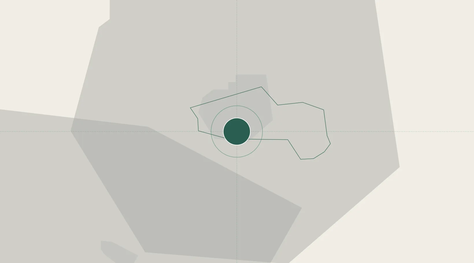
Nearby Logistics Neighbours

Cities
  1. 1Falesti26 km
  2. 2Bolotino44 km
  3. 3Kupchino56 km
  4. 4Iasi69 km
  5. 5Valea Lupului71 km
Nearest neighbours — logibook spatial index (haversine) over the source coordinates
Ports
  1. 1Belgorod-Dnestrovsky255 km
  2. 2Odesa255 km
  3. 3Reni259 km
  4. 4Galati260 km
  5. 5Illichivsk263 km
Nearest neighbours — logibook spatial index (haversine) over the source coordinates
Airports
  1. 1Bălți-Leadoveni International Airport14 km
  2. 2Mărculești Air Base25 km
  3. 3Iaşi International Airport67 km
  4. 4Suceava Ștefan cel Mare International Airport117 km
  5. 5Chişinău International Airport119 km
Nearest neighbours — logibook spatial index (haversine) over the source coordinates
DatabookThe Record of Consolidated Knowledge
Moldova beyond logistics?
Browse databook

All Sources

LocationsUN/LOCODE
UN/LOCODE — free
Portsthe NGA World Port Index
Public domain (US gov)
AirportsOurAirports
Public domain
Trade Zonesthe World Bank SEZ database
CC BY 4.0
Trade ZonesOpen Zone Map
CC BY
← Moldova locations