Transport Functions
Multimodal
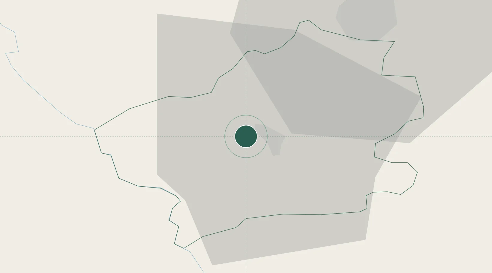
Hub Profile
Place type
Regional capital
Region
Fălești
Population
14,377
Time zone
Europe/Chisinau
Elevation
120 m
Location
Nearby Logistics Neighbours
Cities
- 1Balti (Bel'cy)26 km
- 2Bolotino30 km
- 3Iasi45 km
- 4Valea Lupului46 km
- 5Kupchino64 km
Ports
- 1Galati241 km
- 2Reni242 km
- 3Belgorod-Dnestrovsky254 km
- 4Braila259 km
- 5Odesa260 km
Airports
DatabookThe Record of Consolidated Knowledge
Moldova beyond logistics?