Transport Functions
Multimodal
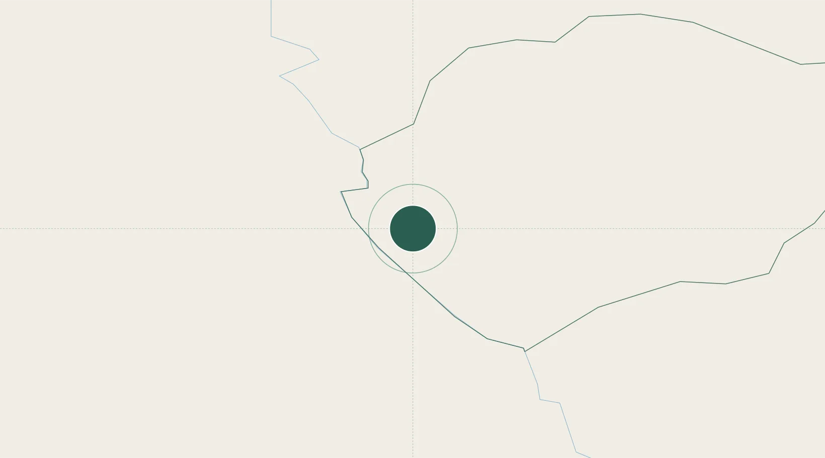
Location
Nearby Logistics Neighbours
Cities
- 1Falesti30 km
- 2Balti (Bel'cy)44 km
- 3Kupchino47 km
- 4Valea Lupului57 km
- 5Targu Frumos59 km
Ports
- 1Galati259 km
- 2Reni261 km
- 3Braila275 km
- 4Belgorod-Dnestrovsky284 km
- 5Izmayil286 km
Airports
DatabookThe Record of Consolidated Knowledge
Moldova beyond logistics?