Large airport · Moldova
Chişinău International AirportLUKK
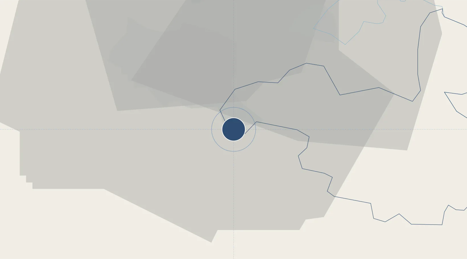
46.9277°, 28.9317°
11,778 ft
Longest runway
2
Runways
399 ft
Elevation
Runway & Layout

Radio Frequencies
ATIS
133.7 MHz
TWR
118.1 MHz
GND
121.8 MHz
APP
125.9 MHz
Navaids
CHN VOR-DME Chisinau 113.70 MHz
Runways · 2
| Runway | Dimensions | Surface | True heading | Lit |
|---|---|---|---|---|
| 08/26 | 11,778 × 148ft | Concrete | 088° | ✓ |
| 09/27 | 7,818 × 148ft | Concrete | — | ✓ |
Airport Specifications
IATA code
RMO
ICAO code
LUKK
Airport class
Large airport
Scheduled service
Yes
Runway surface
Concrete
Served city
Chişinău
Location
Nearby Logistics Neighbours
Airports
- 1Tiraspol Airfield51 km
- 2Iaşi International Airport103 km
- 3Mărculești Air Base117 km
- 4Cahul International Airport131 km
- 5Bălți-Leadoveni International Airport133 km
Ports
- 1Belgorod-Dnestrovsky137 km
- 2Odesa146 km
- 3Illichivsk149 km
- 4Yuzhnyy163 km
- 5Ust-Dunaisk173 km
DatabookThe Record of Consolidated Knowledge
Moldova beyond logistics?