UN/LOCODE hub · Spain
ESZD4

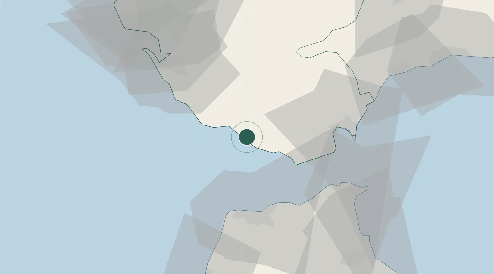
Zahara de los Atunes

36.1333°, -5.8333°
1,200
Population
2
Transport functions

Transport Functions

Road
Multimodal
UN/LOCODE

Hub Profile

Place type
Populated place
GeoNames
Region
Andalusia
GeoNames
Population
1,200
GeoNames
Time zone
Europe/Madrid
GeoNames
Elevation
4 m
GeoNames

Location

Location of ESZD4
Natural Earth 10m (public domain) · Andalusia · ESZD4 · 36.13, -5.83GoogleOSMYandex

Nearby Logistics Neighbours

Cities
  1. 1Tahivilla9 km
  2. 2Barbate9 km
  3. 3Benalup22 km
  4. 4Conil de la Frontera27 km
  5. 5Algeciras35 km
Nearest neighbours — logibook spatial index (haversine) over the source coordinates
Ports
  1. 1Algeciras36 km
  2. 2Tangier-Mediterranean39 km
  3. 3Tanger39 km
  4. 4Ceuta53 km
  5. 5Cadiz61 km
Nearest neighbours — logibook spatial index (haversine) over the source coordinates
Airports
  1. 1Algeciras Heliport35 km
  2. 2Gibraltar Airport44 km
  3. 3Tangier Ibn Battuta Airport45 km
  4. 4Ceuta Heliport54 km
  5. 5Jerez Airport71 km
Nearest neighbours — logibook spatial index (haversine) over the source coordinates
Trade Zones
  1. 1Depósito Franco de Algeciras36 km
  2. 2Tanger Med Ksar el Majaz Mellousa Freeport41 km
  3. 3Tanger Free Export Zone47 km
  4. 4Tanger Automotive City51 km
  5. 5Autonomous City of Ceuta53 km
Nearest neighbours — logibook spatial index (haversine) over the source coordinates
DatabookThe Record of Consolidated Knowledge
Spain beyond logistics?
Browse databook

All Sources

LocationsUN/LOCODE
UN/LOCODE — free
LocationsGeoNames
CC BY 4.0
Portsthe NGA World Port Index
Public domain (US gov)
AirportsOurAirports
Public domain
Trade Zonesthe World Bank SEZ database
CC BY 4.0
Trade ZonesOpen Zone Map
CC BY
← Spain locations