Transport Functions
Port
Road
Hub Profile
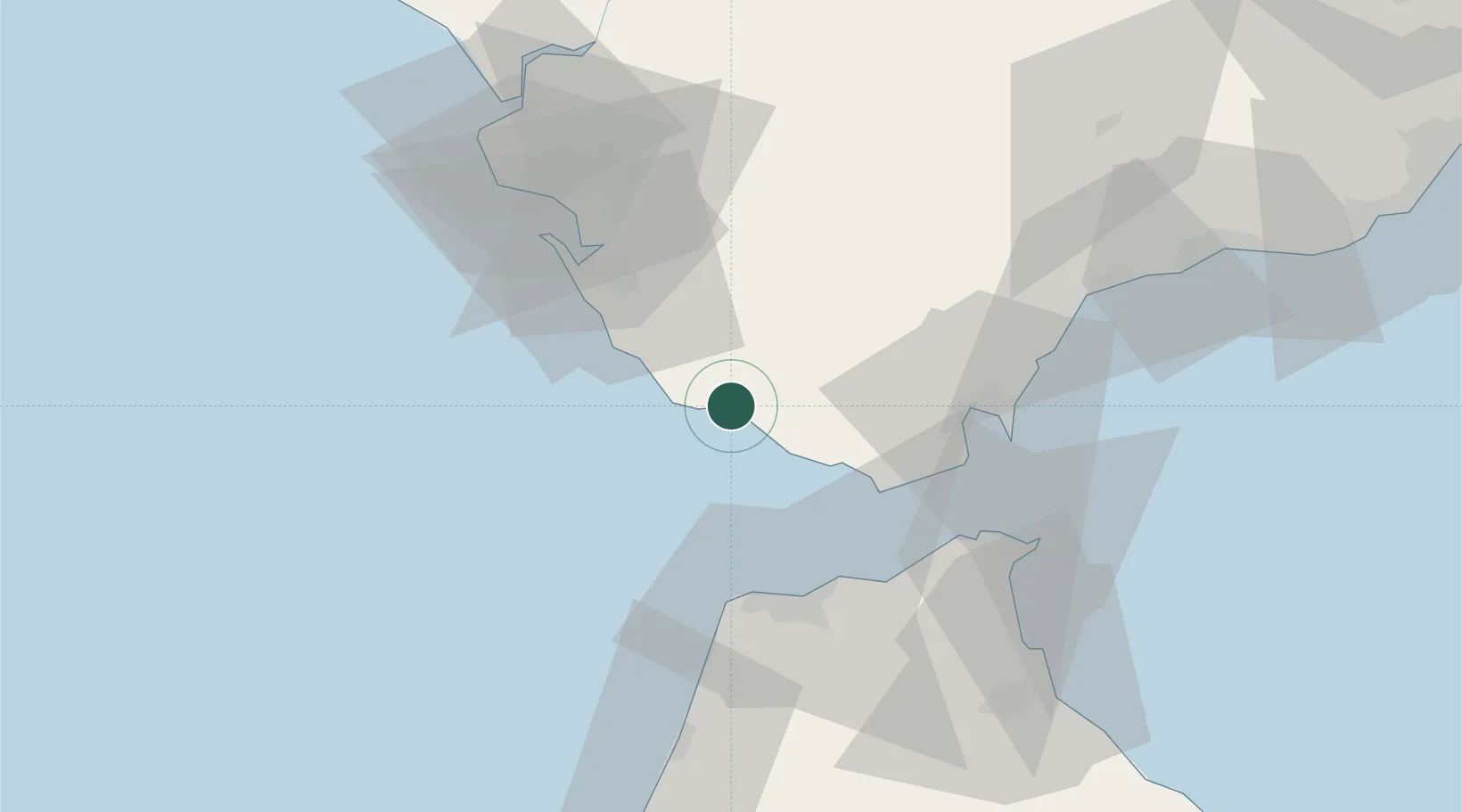
Place type
Populated place
Region
Andalusia
Population
22,551
Time zone
Europe/Madrid
Elevation
18 m
Location
Nearby Logistics Neighbours
Cities
- 1Zahara de los Atunes9 km
- 2Tahivilla15 km
- 3Conil de la Frontera18 km
- 4Benalup20 km
- 5San Fernando41 km
Ports
- 1Algeciras44 km
- 2Tanger45 km
- 3Tangier-Mediterranean48 km
- 4Cadiz52 km
- 5Rota61 km
Airports
- 1Algeciras Heliport43 km
- 2Tangier Ibn Battuta Airport50 km
- 3Gibraltar Airport51 km
- 4Ceuta Heliport64 km
- 5Jerez Airport64 km
Trade Zones
DatabookThe Record of Consolidated Knowledge
Spain beyond logistics?