Transport Functions
Port
Road
Hub Profile
Place type
Populated place
Region
Talsu novads
Population
1,800
Time zone
Europe/Riga
Elevation
13 m
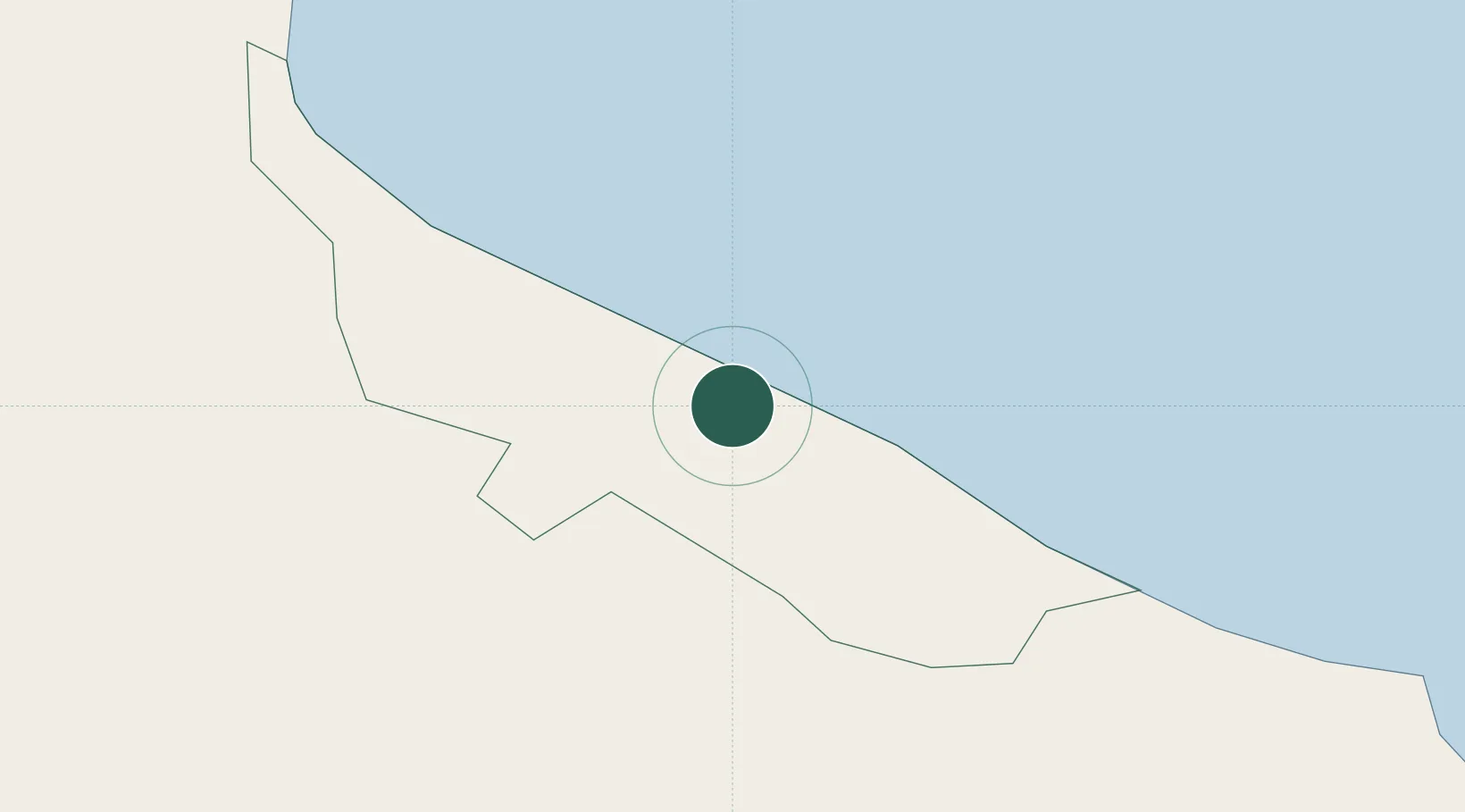
Location
Nearby Logistics Neighbours
Ports
- 1Ventspils77 km
- 2Roomassaare81 km
- 3Salacgriva96 km
- 4Riga99 km
- 5Saaremaa sadam120 km
Airports
- 1Ruhnu Airfield42 km
- 2Jūrmala Airport67 km
- 3Kuressaare Airport83 km
- 4Riga International Airport96 km
- 5Pärnu Airport142 km
Trade Zones
- 1Free port of Ventspils77 km
- 2Free Port of Riga99 km
- 3Akmenė Free Economic Zone140 km
- 4Liepāja SEZ172 km
- 5ō iauliai Free Economic Zone181 km
DatabookThe Record of Consolidated Knowledge
Latvia beyond logistics?