UN/LOCODE hub · Estonia
EERNG

Ringsu

57.7833°, 23.2667°
3
Transport functions

Transport Functions

Port
Road
Border Crossing
UN/LOCODE

Hub Profile

Region
74
GeoNames

Location

Location of EERNG
Natural Earth 10m (public domain) · 74 · EERNG · 57.78, 23.27GoogleOSMYandex

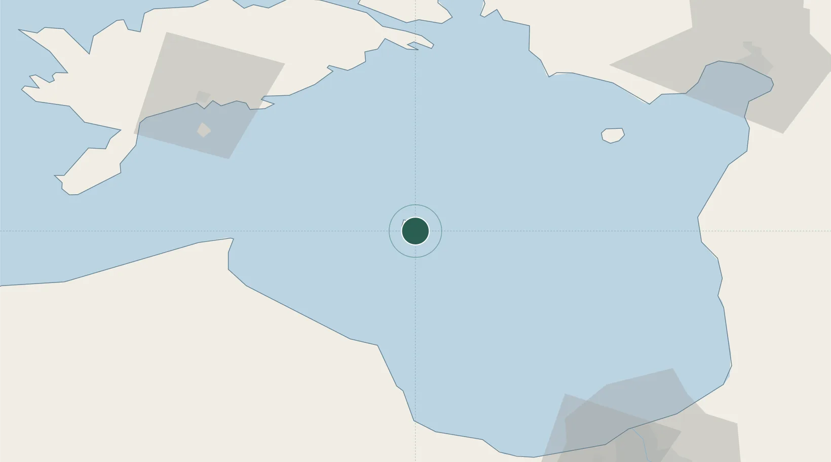
Nearby Logistics Neighbours

Cities
  1. 1Roja42 km
  2. 2Mersrags51 km
  3. 3Suaru Kalasadam58 km
  4. 4Kihnu59 km
  5. 5Suaru59 km
Nearest neighbours — logibook spatial index (haversine) over the source coordinates
Ports
  1. 1Roomassaare66 km
  2. 2Salacgriva66 km
  3. 3Virtsu89 km
  4. 4Parnu98 km
  5. 5Saaremaa sadam103 km
Nearest neighbours — logibook spatial index (haversine) over the source coordinates
Airports
  1. 1Ruhnu Airfield0 km
  2. 2Kuressaare Airport67 km
  3. 3Jūrmala Airport94 km
  4. 4Pärnu Airport100 km
  5. 5Riga International Airport105 km
Nearest neighbours — logibook spatial index (haversine) over the source coordinates
Trade Zones
  1. 1Free Port of Riga105 km
  2. 2Free port of Ventspils112 km
  3. 3Akmenė Free Economic Zone174 km
  4. 4Paldiski Free Zone179 km
  5. 5Muuga Free Zone196 km
Nearest neighbours — logibook spatial index (haversine) over the source coordinates
DatabookThe Record of Consolidated Knowledge
Estonia beyond logistics?
Browse databook

All Sources

LocationsUN/LOCODE
UN/LOCODE — free
Portsthe NGA World Port Index
Public domain (US gov)
AirportsOurAirports
Public domain
Trade Zonesthe World Bank SEZ database
CC BY 4.0
Trade ZonesOpen Zone Map
CC BY
← Estonia locations