Transport Functions
Rail
Road
Hub Profile
Place type
Regional capital
Region
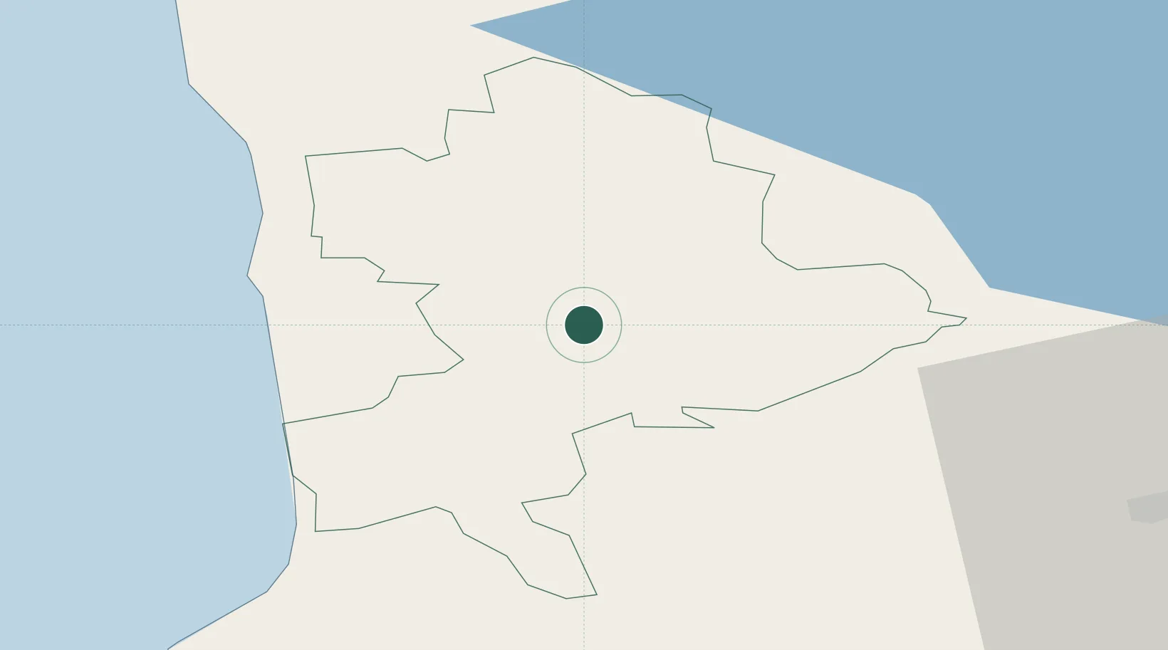
Limbaži Municipality
Population
6,517
Time zone
Europe/Riga
Elevation
78 m
Location
Nearby Logistics Neighbours
Cities
- 1Skulte26 km
- 2Salacgriva35 km
- 3Sigulda40 km
- 4Cesis41 km
- 5Priekuli45 km
Ports
- 1Salacgriva30 km
- 2Riga71 km
- 3Parnu99 km
- 4Virtsu139 km
- 5Roomassaare152 km
Airports
- 1Riga International Airport78 km
- 2Ruhnu Airfield91 km
- 3Pärnu Airport103 km
- 4Jūrmala Airport108 km
- 5Jēkabpils Air Base129 km
Trade Zones
- 1Free Port of Riga70 km
- 2Akmenė Free Economic Zone184 km
- 3Free port of Ventspils190 km
- 4ō iauliai Free Economic Zone196 km
- 5Muuga Free Zone201 km
DatabookThe Record of Consolidated Knowledge
Latvia beyond logistics?