Transport Functions
Rail
Road
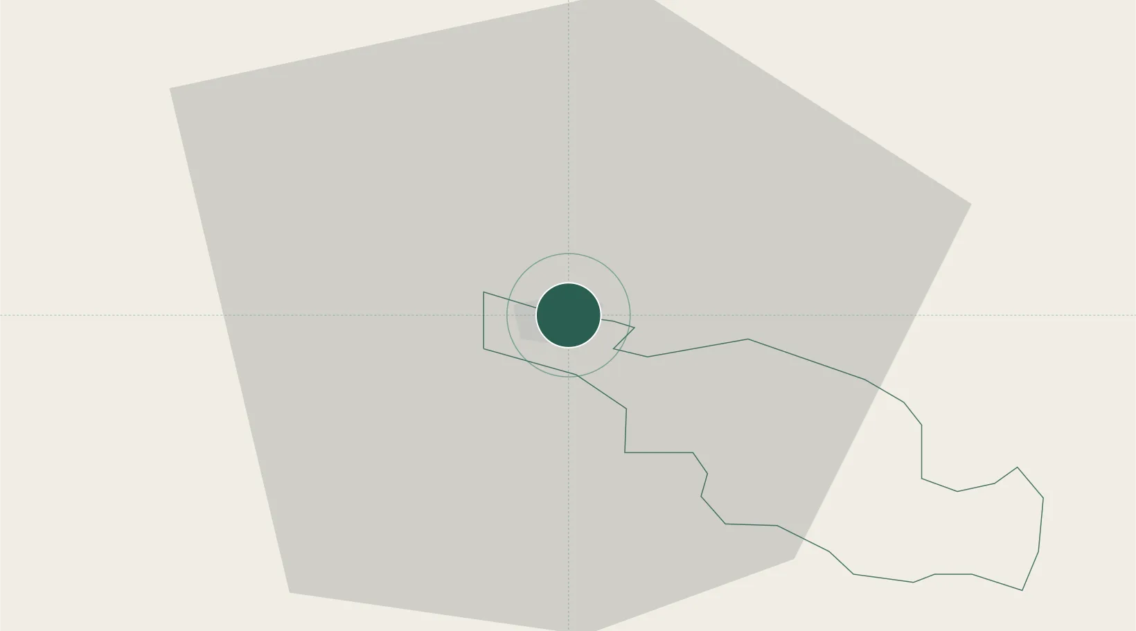
Hub Profile
Place type
Regional capital
Region
Cēsis Municipality
Population
15,020
Time zone
Europe/Riga
Elevation
102 m
Location
Nearby Logistics Neighbours
Ports
- 1Salacgriva69 km
- 2Riga82 km
- 3Parnu128 km
- 4Virtsu175 km
- 5Roomassaare193 km
Airports
- 1Riga International Airport91 km
- 2Jēkabpils Air Base95 km
- 3Jūrmala Airport131 km
- 4Ruhnu Airfield131 km
- 5Pärnu Airport132 km
Trade Zones
- 1Free Port of Riga82 km
- 2Latgale SEZ162 km
- 3Rēzekne SEZ162 km
- 4Moglino Special Economic Zone - Industrial177 km
- 5Akmenė Free Economic Zone196 km
DatabookThe Record of Consolidated Knowledge
Latvia beyond logistics?