Transport Functions
Port
Rail
Road
Hub Profile
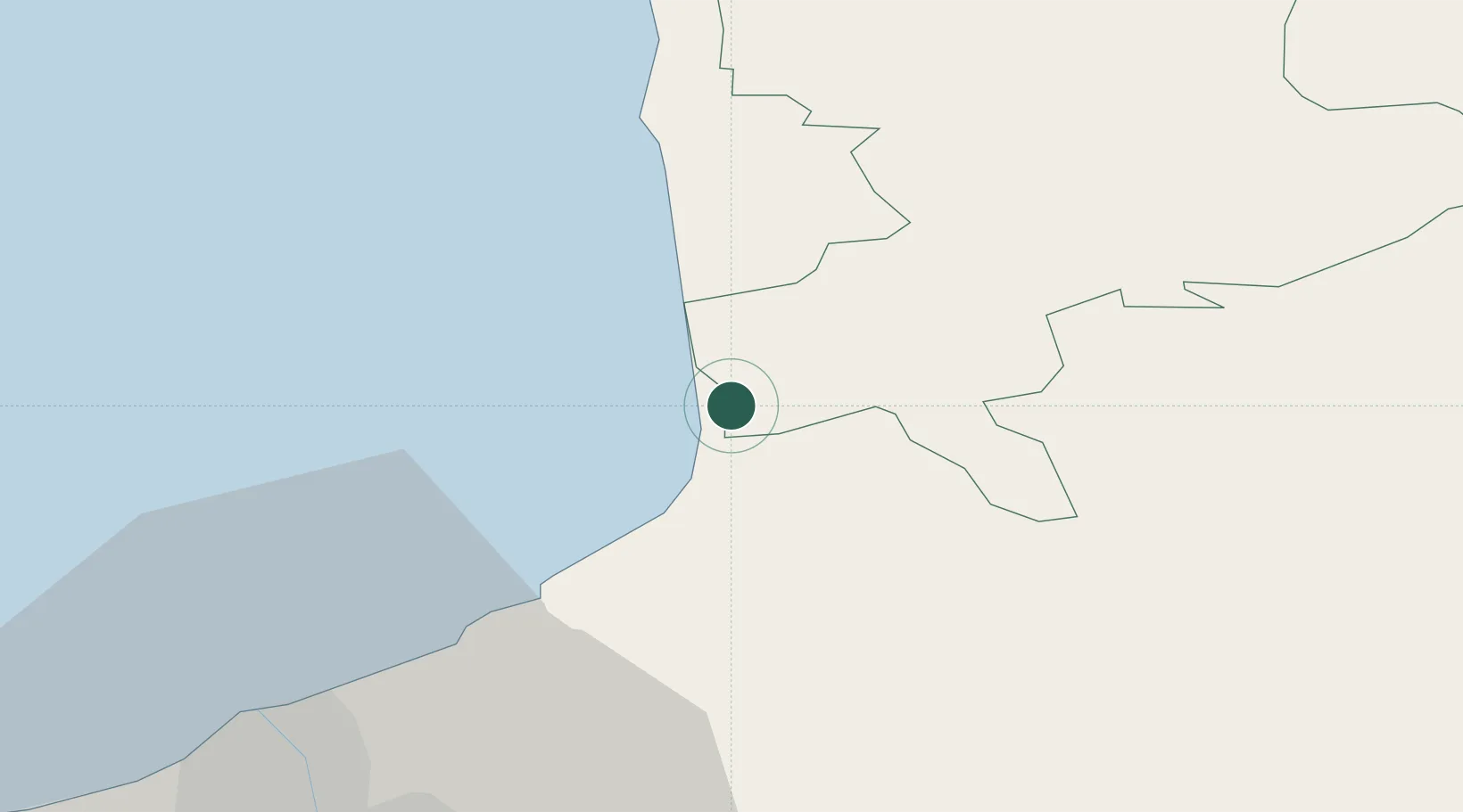
Place type
Populated place
Region
Limbaži Municipality
Time zone
Europe/Riga
Elevation
24 m
Location
Nearby Logistics Neighbours
Ports
- 1Salacgriva43 km
- 2Riga46 km
- 3Parnu119 km
- 4Virtsu150 km
- 5Roomassaare152 km
Airports
- 1Riga International Airport52 km
- 2Jūrmala Airport84 km
- 3Ruhnu Airfield87 km
- 4Pärnu Airport123 km
- 5Jēkabpils Air Base124 km
Trade Zones
- 1Free Port of Riga45 km
- 2Akmenė Free Economic Zone158 km
- 3ō iauliai Free Economic Zone170 km
- 4Free port of Ventspils175 km
- 5Latgale SEZ202 km
DatabookThe Record of Consolidated Knowledge
Latvia beyond logistics?