Transport Functions
Multimodal
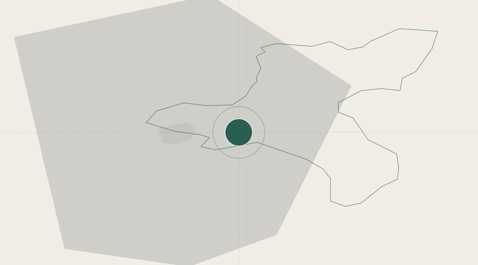
Hub Profile
Place type
Provincial seat
Region
Cēsis Municipality
Population
2,136
Time zone
Europe/Riga
Elevation
116 m
Location
Nearby Logistics Neighbours
Ports
- 1Salacgriva73 km
- 2Riga87 km
- 3Parnu130 km
- 4Virtsu178 km
- 5Roomassaare197 km
Airports
- 1Jēkabpils Air Base93 km
- 2Riga International Airport95 km
- 3Pärnu Airport134 km
- 4Tartu Airport135 km
- 5Jūrmala Airport136 km
Trade Zones
- 1Free Port of Riga86 km
- 2Latgale SEZ158 km
- 3Rēzekne SEZ158 km
- 4Moglino Special Economic Zone - Industrial172 km
- 5ō iauliai Free Economic Zone199 km
DatabookThe Record of Consolidated Knowledge
Latvia beyond logistics?