Transport Functions
Port
Road
Hub Profile
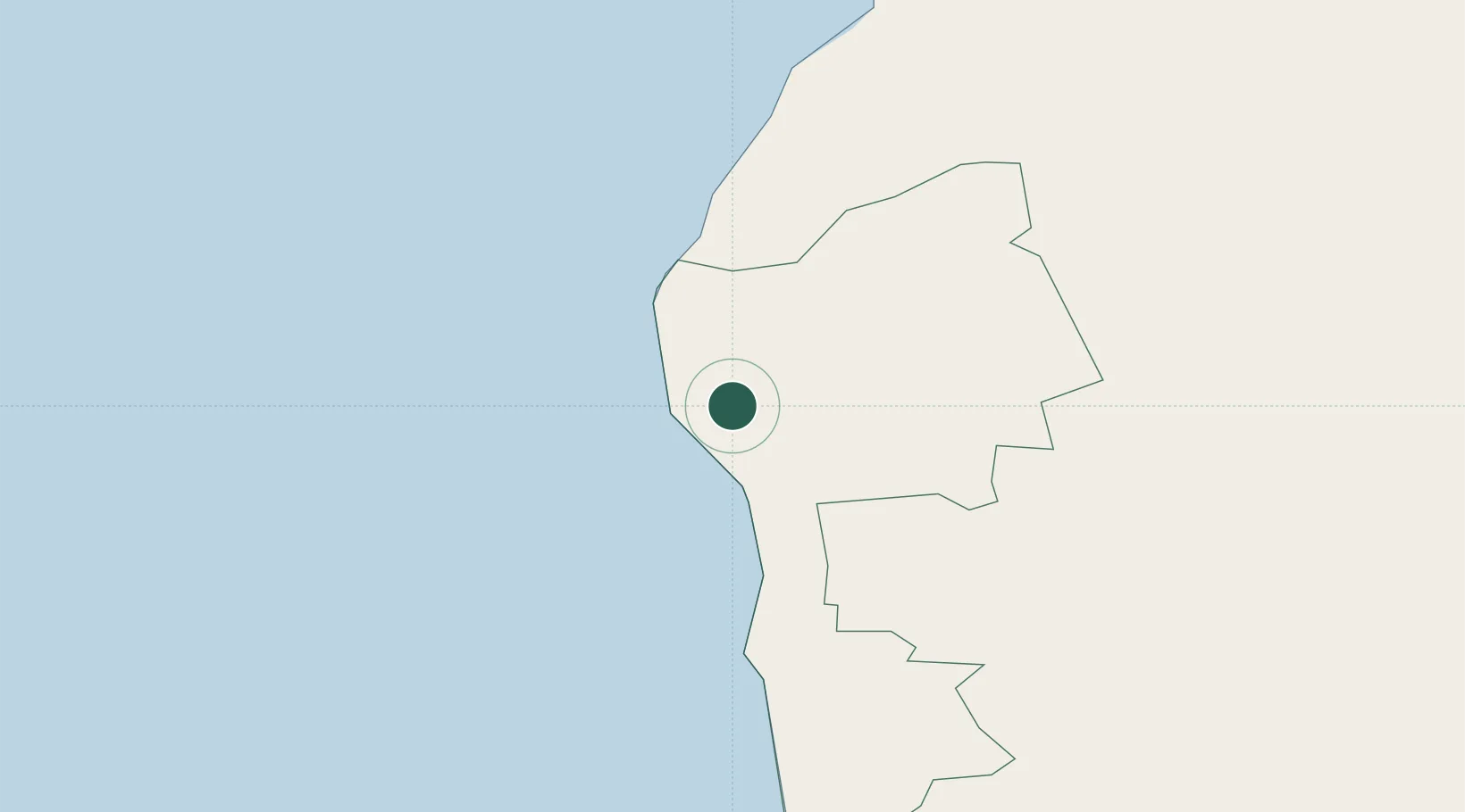
Place type
Populated place
Region
Limbaži Municipality
Population
2,480
Time zone
Europe/Riga
Elevation
7 m
Location
Nearby Logistics Neighbours
Cities
- 1Treimani19 km
- 2Jaagupi32 km
- 3Limbazi35 km
- 4Rannametsa42 km
- 5Kihnu47 km
Ports
- 1Parnu71 km
- 2Riga90 km
- 3Virtsu104 km
- 4Roomassaare120 km
- 5Rohukula140 km
Airports
- 1Ruhnu Airfield65 km
- 2Pärnu Airport75 km
- 3Riga International Airport95 km
- 4Jūrmala Airport112 km
- 5Kuressaare Airport121 km
Trade Zones
- 1Free Port of Riga89 km
- 2Free port of Ventspils173 km
- 3Muuga Free Zone176 km
- 4Paldiski Free Zone177 km
- 5Akmenė Free Economic Zone194 km
DatabookThe Record of Consolidated Knowledge
Latvia beyond logistics?