Transport Functions
Rail
Road
Hub Profile
Place type
District seat
Region
Esch-sur-Alzette
Population
4,396
Time zone
Europe/Luxembourg
Elevation
284 m
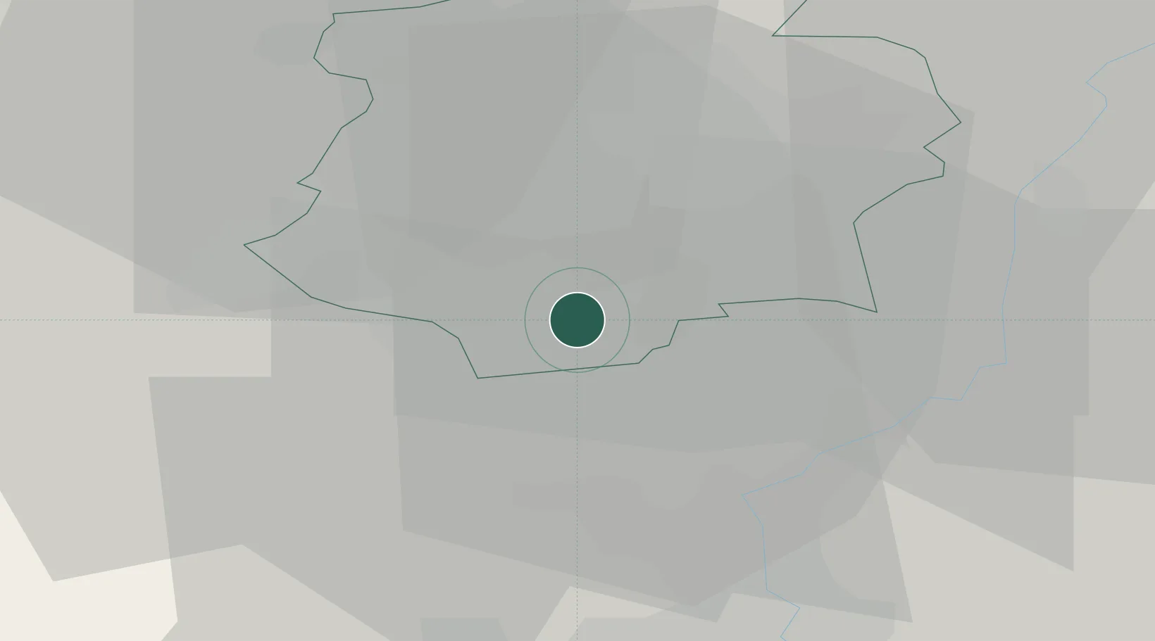
Location
Nearby Logistics Neighbours
Cities
- 1Esch-sur-Alzette4 km
- 2Audun-le-Tiche6 km
- 3Ehlerange7 km
- 4Crauthem9 km
- 5Bettange-sur-Mess10 km
Airports
Trade Zones
- 1Luxembourg Free Port22 km
- 2ZFU Woippy-Metz38 km
- 3ZFU Metz43 km
- 4ZFU La Cité Behren-lès-Forbach74 km
- 5ZFU Maxéville, Laxou, et de Nancy87 km
DatabookThe Record of Consolidated Knowledge
Luxembourg beyond logistics?