Transport Functions
Rail
Road
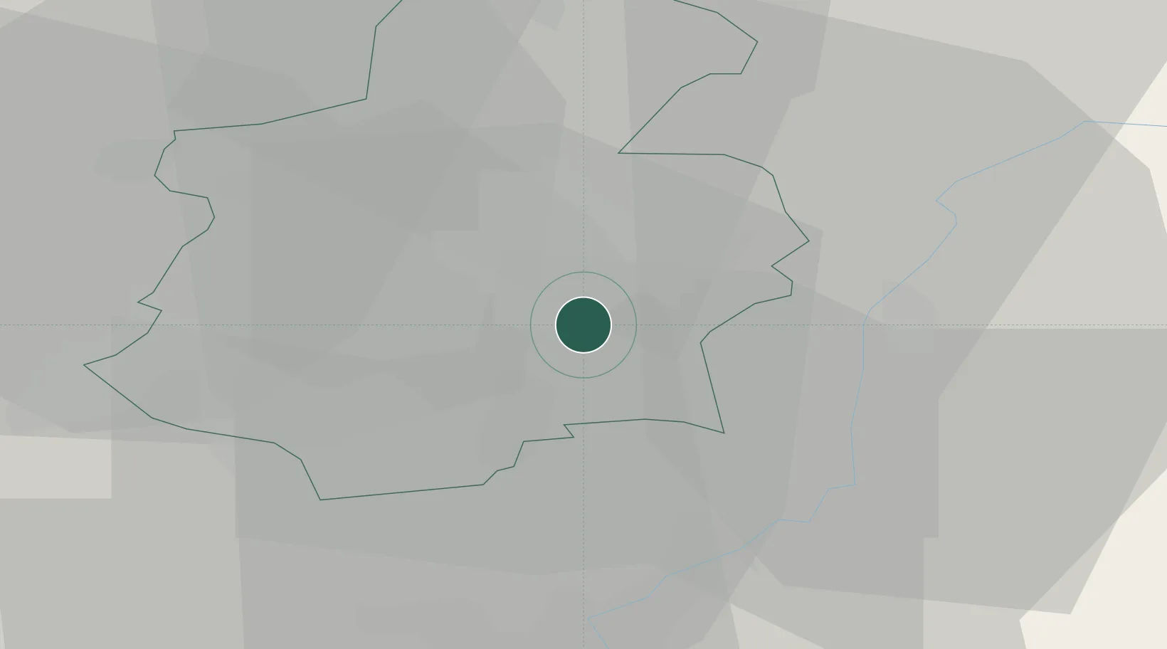
Hub Profile
Place type
District seat
Region
Luxembourg
Population
1,937
Time zone
Europe/Luxembourg
Elevation
270 m
Location
Nearby Logistics Neighbours
Cities
- 1Fentange2 km
- 2Howald2 km
- 3Crauthem4 km
- 4Dommeldange6 km
- 5Findel7 km
Airports
Trade Zones
- 1Luxembourg Free Port10 km
- 2ZFU Woippy-Metz46 km
- 3ZFU Metz51 km
- 4ZFU La Cité Behren-lès-Forbach72 km
- 5ZFU Maxéville, Laxou, et de Nancy96 km
DatabookThe Record of Consolidated Knowledge
Luxembourg beyond logistics?